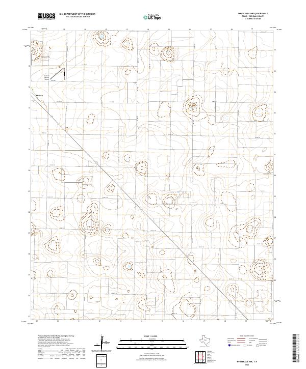
2022 Map of Whiteface NW
USGS Topo · Published 2022About this map
Morton stands as the primary hub of activity in this corner of the High Plains, where the grid of the Llano Estacado meets the specialized infrastructure of the Cochran County Airport. The landscape is characterized by its vast, flat expanses, broken only by subtle elevation changes like Ramsey Hill. A dense network of farm-to-market roads and county routes, including FM 1780 and FM 2195, crisscrosses the terrain, reflecting a landscape deeply committed to large-scale agriculture. This geometric layout illustrates the late-twentieth-century transition into highly mechanized farming, where every section of land is accessible by a defined road system, connecting remote fields to the regional centers of commerce.
Find a feature on this map
21 named features on this map. Tap any name to fly to it.
Don’t see what you’re looking for? This feature index may not catch every label — zoom into the map to look around manually.
Map Details
Editions of this 2022 Whiteface NW Map
This is the sole edition of this map. No revisions or reprints were ever made.
Other maps of this area

1954 · Brownfield
USGS Topo · 1:250,000

1958 · Brownfield
USGS Topo · 1:250,000

1962 · Brownfield
USGS Topo · 1:250,000

1964 · Pep
USGS Topo · 1:24,000

1965 · Pettit
USGS Topo · 1:24,000

1965 · Whiteface
USGS Topo · 1:24,000

1969 · Enochs
USGS Topo · 1:24,000

1969 · Lehman
USGS Topo · 1:24,000

1970 · Whiteface SW
USGS Topo · 1:24,000

1971 · Whiteface NW
USGS Topo · 1:24,000