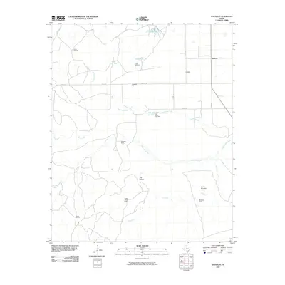
2010 Map of Whiteflat
USGS Topo · Published 2010About this map
The high plains and broken draws of the Texas Panhandle define this 2010 survey of Whiteflat, situated near the headwaters of the Middle Pease River. The landscape is a network of ranch roads and windmills, including the Rincon Windmill, Cedar Windmill, and Stokes Windmill, which reflect the area's ongoing reliance on groundwater for livestock. The terrain is marked by significant elevation changes at Antelope Hill and Connally Peak, while deep cuts in the earth form Lost Canyon and Jesse James Draw.
Find a feature on this map
33 named features on this map. Tap any name to fly to it.
Don’t see what you’re looking for? This feature index may not catch every label — zoom into the map to look around manually.
Map Details
Editions of this 2010 Whiteflat Map
This is the sole edition of this map. No revisions or reprints were ever made.
Other maps of this area

1954 · Lubbock
USGS Topo · 1:250,000

1954 · Plainview
USGS Topo · 1:250,000

1958 · Plainview
USGS Topo · 1:250,000

1966 · Matador
USGS Topo · 1:24,000

1967 · Quitaque Peaks
USGS Topo · 1:24,000

1967 · Dick Moore Canyon
USGS Topo · 1:24,000

1967 · Hornica Creek
USGS Topo · 1:24,000

1967 · Flomot
USGS Topo · 1:24,000

1967 · Whiteflat
USGS Topo · 1:24,000

1968 · Mac Bain
USGS Topo · 1:24,000