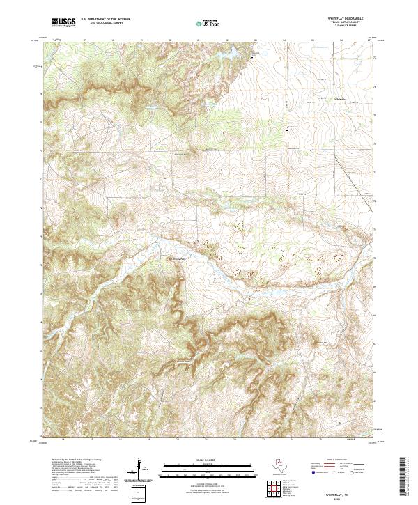
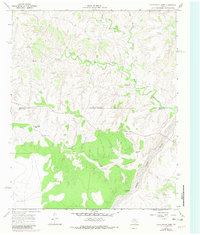
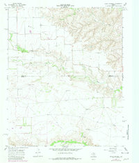
2022 Map of Whiteflat
USGS Topo · Published 2022This historical map portrays the area of Whiteflat in 2022, primarily covering Motley County. Featuring a scale of 1:24000, this map provides a highly detailed snapshot of the terrain, roads, buildings, counties, and historical landmarks in the Whiteflat region at the time. Published in 2022, it is the sole known edition of this map.
Map Details
Editions of this 2022 Whiteflat Map
This is the sole edition of this map. No revisions or reprints were ever made.
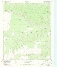
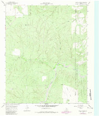
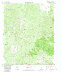
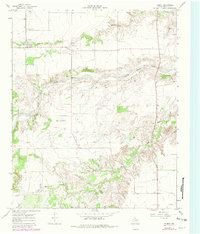
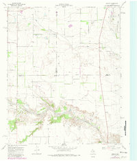
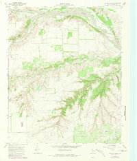
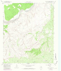
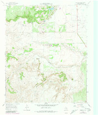
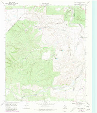
Historical Maps of Horner Lake Through Time
26 maps found
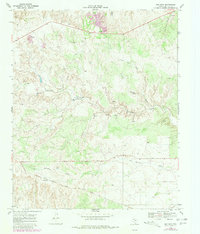
1966 Ballard Camp
Motley County, TX
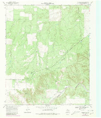
1966 Fields Canyon
Motley County, TX
1966 Tee Pee City
Motley County, TX
1967 Cottonwood Camp
Motley County, TX
1967 Flomot
Motley County, TX
1967 Folley
Motley County, TX
1967 Hornica Creek
Motley County, TX
1967 North Windmill
Motley County, TX
1967 Turtle Hole Camp
Motley County, TX
1967 Whiteflat
Motley County, TX
1968 China Canyon
Motley County, TX
1968 Mac Bain
Motley County, TX
1968 Russellville
Motley County, TX
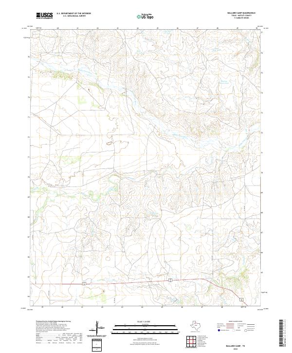
2022 Ballard Camp
Motley County, TX
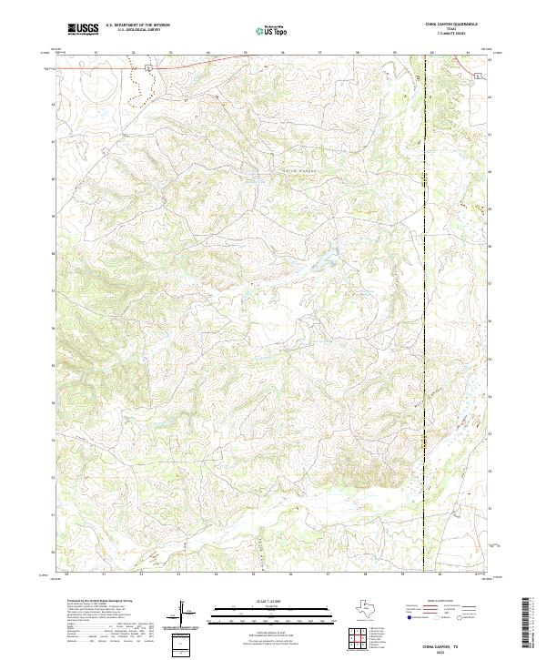
2022 China Canyon
Motley County, TX
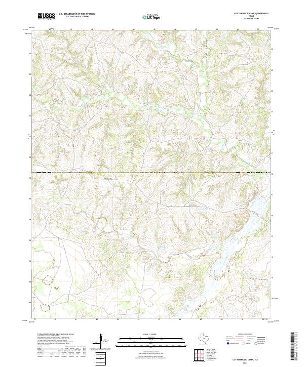
2022 Cottonwood Camp
Motley County, TX
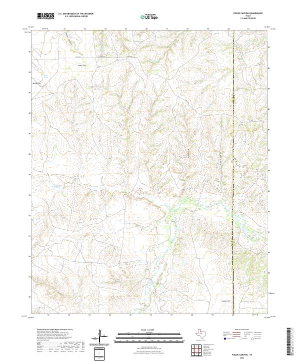
2022 Fields Canyon
Motley County, TX
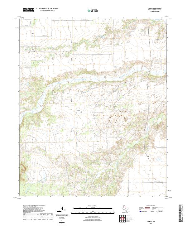
2022 Flomot
Motley County, TX
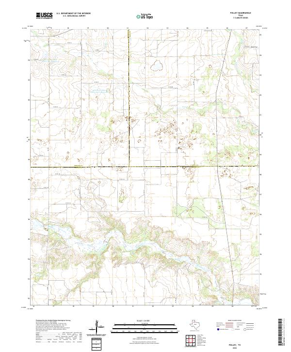
2022 Folley
Motley County, TX
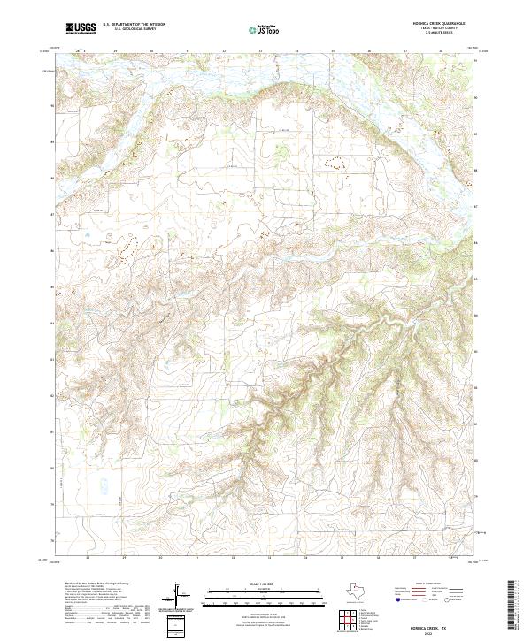
2022 Hornica Creek
Motley County, TX
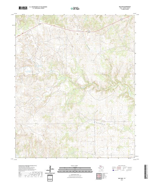
2022 Mac Bain
Motley County, TX
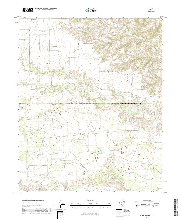
2022 North Windmill
Motley County, TX
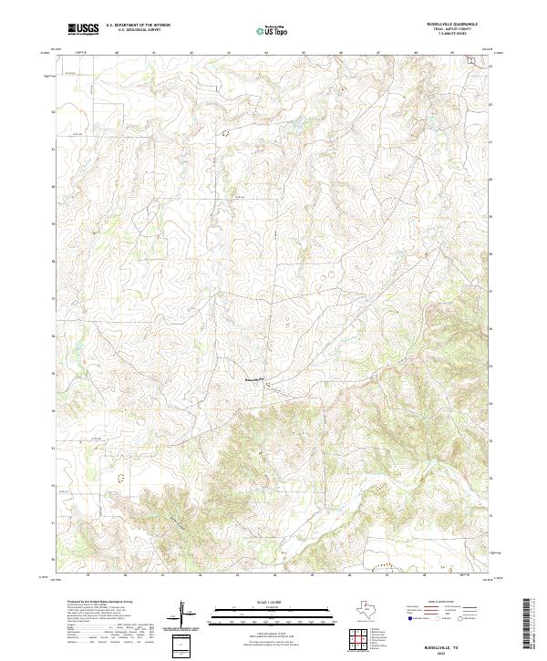
2022 Russellville
Motley County, TX
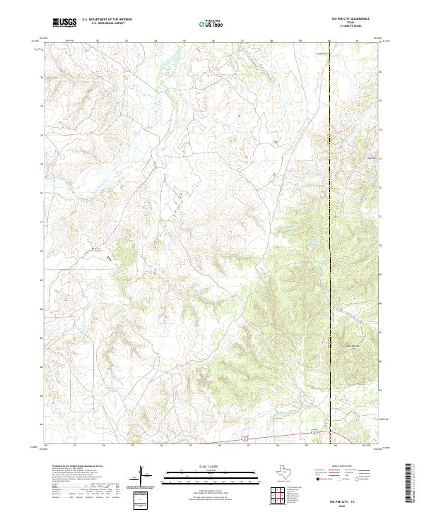
2022 Tee Pee City
Motley County, TX
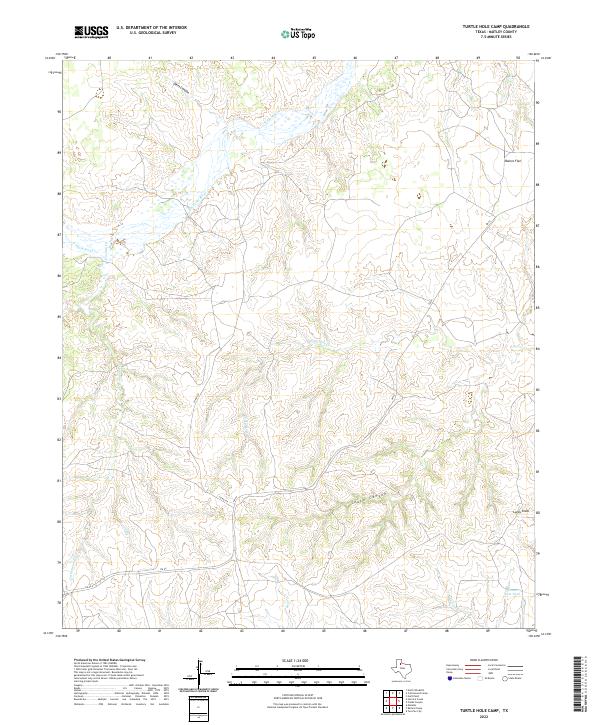
2022 Turtle Hole Camp
Motley County, TX
2022 Whiteflat
Motley County, TX