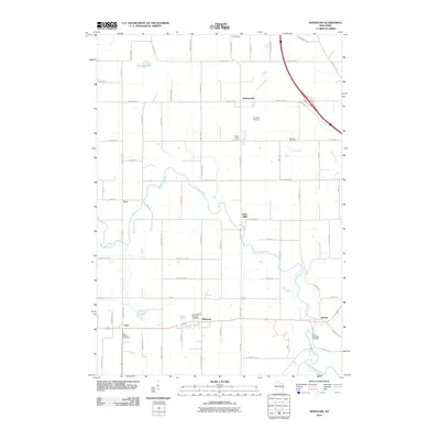
2010 Map of Whitelaw
USGS Topo · Published 2010About this map
Whitelaw and the surrounding Manitowoc County countryside are defined by a network of rural hamlets and agricultural crossroads in this 2010 survey. The landscape is interconnected by the Branch River and Kriwanek Creek, which flow through a region punctuated by small community centers like Kellnersville, Cato, and the historic site of Reifs Mills. These settlements often revolve around traditional local landmarks, such as Saint Michaels Catholic church and its associated Saint Michaels Catholic Cemetery.
Find a feature on this map
73 named features on this map. Tap any name to fly to it.
Don’t see what you’re looking for? This feature index may not catch every label — zoom into the map to look around manually.
Map Details
Editions of this 2010 Whitelaw Map
This is the sole edition of this map. No revisions or reprints were ever made.
Other maps of this area

1954 · Kewaunee
USGS Topo · 1:62,500

1954 · Manitowoc
USGS Topo · 1:62,500

1954 · Denmark
USGS Topo · 1:62,500

1954 · Reedsville
USGS Topo · 1:62,500

1954 · Manitowoc
USGS Topo · 1:24,000

1954 · Manitowoc
USGS Topo · 1:250,000

1958 · Manitowoc
USGS Topo · 1:250,000
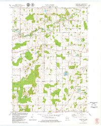
1978 · Clarks Mills
USGS Topo · 1:24,000

1978 · Denmark
USGS Topo · 1:24,000
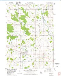
1978 · Reedsville
USGS Topo · 1:24,000