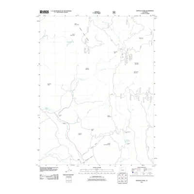
2011 Map of Whiteley Peak
USGS Topo · Published 2011About this map
Rabbit Ears Range dominates the high-altitude terrain of this Grand County quadrangle, where the watershed is defined by Muddy Creek and its many tributaries. The area's ranching heritage is clearly mapped through established family holdings such as Haworth Ranch, Ritschard Ranch, and Dietrich Ranch situated along the drainage of Lindsey Creek and the southern gulches. These agricultural hubs are connected by County Hwy 27 and County Rd 282, reflecting a landscape dedicated to livestock and seasonal land use. Water management is central to the local economy, evidenced by the infrastructure at Parsons Reservoir and Parsons Dam. The topography transitions from peaks like Whiteley Peak and Grannys Nightcap to the recreational space at Harrison Creek Picnic Area, illustrating a modern balance between private ranching and public forest access.
Find a feature on this map
35 named features on this map. Tap any name to fly to it.
Don’t see what you’re looking for? This feature index may not catch every label — zoom into the map to look around manually.
Map Details
Editions of this 2011 Whiteley Peak Map
This is the sole edition of this map. No revisions or reprints were ever made.
Other maps of this area

1954 · Craig
USGS Topo · 1:250,000

1956 · Rabbit Ears Peak
USGS Topo · 1:24,000

1956 · Lake Agnes
USGS Topo · 1:24,000

1956 · Kremmling
USGS Topo · 1:62,500

1956 · Spicer Peak
USGS Topo · 1:24,000

1956 · Buffalo Peak
USGS Topo · 1:24,000

1956 · Whiteley Peak
USGS Topo · 1:24,000

1956 · Hyannis Peak
USGS Topo · 1:24,000

1956 · Gore Pass
USGS Topo · 1:62,500

1956 · Hyannis Peak
USGS Topo · 1:62,500