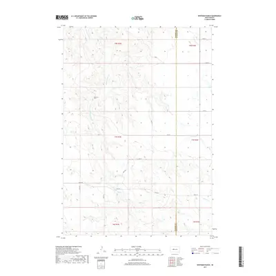
2017 Map of Whiteman Ranch
USGS Topo · Published 2017About this map
Whiteman Ranch stands as the central landmark in this portion of the South Dakota prairie, situated amidst a complex drainage system that feeds into the Cheyenne River watershed. The terrain is defined by the winding paths of Hermaphrodite Cr and Lone Tree Cr, which carve through the high plains. This 2017 survey documents the rural infrastructure of the region, where the boundary between Haakon and Stanley counties bisects the landscape. The movement of cattle and goods is traced through a grid of section-line roads, including Kirley Rd and several numbered routes like 196th St. To the southeast, the headwaters of Sansarc Cr and its northern fork emerge, illustrating the intricate hydrography of the Missouri Plateau. This map is particularly valuable for understanding modern land use and ranching boundaries in a part of the state where traditional naming conventions like Sage Cr persist across generations of land management.
Find a feature on this map
20 named features on this map. Tap any name to fly to it.
Don’t see what you’re looking for? This feature index may not catch every label — zoom into the map to look around manually.
Map Details
Editions of this 2017 Whiteman Ranch Map
This is the sole edition of this map. No revisions or reprints were ever made.
Other maps of this area

1954 · Pierre
USGS Topo · 1:250,000

1956 · Kirley
USGS Topo · 1:24,000

1956 · Carlin Flat
USGS Topo · 1:24,000

1956 · Alleman Station
USGS Topo · 1:24,000

1956 · Sansarc NE
USGS Topo · 1:24,000

1958 · Pierre
USGS Topo · 1:250,000

1982 · Sansarc
USGS Topo · 1:24,000

1982 · Whiteman Ranch
USGS Topo · 1:24,000

1983 · Bentley Ranch
USGS Topo · 1:24,000

1983 · Hayes North
USGS Topo · 1:24,000