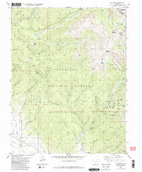
1982 Map of Whitepine
USGS Topo · Published 1983About this map
Whitepine serves as a focal point for mining history in this high-altitude section of the Gunnison National Forest. Located along the eastern edge of Gunnison County, the area is defined by a dense network of mining claims and infrastructure concentrated around Galena Creek and Tomichi Creek. The map records specific industrial sites such as the Akron Mine and North Star Mine, alongside the Cem that served these remote worker communities.
Find a feature on this map
58 named features on this map. Tap any name to fly to it.
Don’t see what you’re looking for? This feature index may not catch every label — zoom into the map to look around manually.
Map Details
Editions of this 1982 Whitepine Map
2 editions found
Other maps of this area

1940 · Garfield
USGS Topo · 1:62,500

1941 · Pitkin
USGS Topo · 1:62,500

1945 · Pitkin
USGS Topo · 1:62,500

1945 · Garfield
USGS Topo · 1:62,500

1956 · Montrose
USGS Topo · 1:250,000

1959 · Montrose
USGS Topo · 1:250,000

1960 · Montrose
USGS Topo · 1:250,000

1962 · Doyleville
USGS Topo · 1:24,000
1964 · Pitkin
USGS Topo · 1:24,000

1964 · Sargents
USGS Topo · 1:24,000