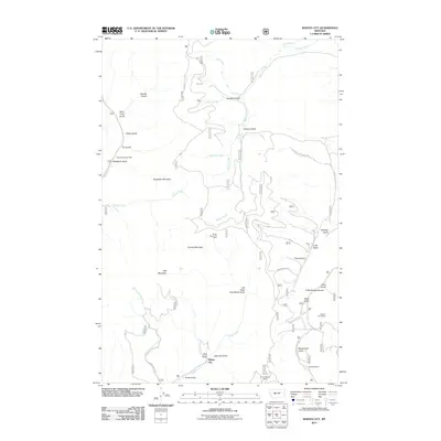
2011 Map of Whites City
USGS Topo · Published 2011About this map
Whites City anchors this 2011 topograhpic study of Broadwater County, where the drainages of Beaver Creek and White Creek cut through high-elevation terrain. This area of the Helena National Forest is defined by its deep mining history, evidenced by a high density of named claims and shafts. Researchers will find the Needham Gulch Mine near Needham Mountain in the west, while the eastern reaches are marked by the Benton Gulch Mine and Schabert Mine along the Confederate Gulch Rd corridor.
Find a feature on this map
41 named features on this map. Tap any name to fly to it.
Don’t see what you’re looking for? This feature index may not catch every label — zoom into the map to look around manually.
Map Details
Editions of this 2011 Whites City Map
This is the sole edition of this map. No revisions or reprints were ever made.
Other maps of this area

1886 · Fort Logan
USGS Topo · 1:250,000

1948 · White Sulphur Springs
USGS Topo · 1:250,000

1950 · Canyon Ferry
USGS Topo · 1:62,500

1958 · White Sulphur Springs
USGS Topo · 1:250,000

1961 · White Sulphur Springs
USGS Topo · 1:250,000

1962 · Snedaker Basin
USGS Topo · 1:24,000

1965 · White Sulphur Springs
USGS Topo · 1:250,000

1966 · Boulder Baldy
USGS Topo · 1:24,000

1966 · Diamond City
USGS Topo · 1:24,000

1966 · Lingshire
USGS Topo · 1:24,000