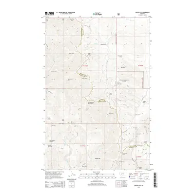
2014 Map of Whites City
USGS Topo · Published 2014About this map
Whites City stands as a focal point in this mountainous landscape, situated where the high drainages of White Cr meet the lower slopes of the Big Belt Mountains. The area is defined by a dense network of gulches and canyons, including Skiddoo Gulch and Little Bridge Canyon, which historically served as conduits for mining and ranching access. The high elevations are marked by Needham Mtn and Bilk Mtn, providing a topographic backdrop to the Helena National Forest lands that dominate the eastern and western sections of the quadrangle. The map details a complex system of remote mountain roads, such as Confederate Gulch Rd and Benton Gulch Rd, which follow the natural contours of the drainage systems. These routes link scattered geographic features like Beaver Dam Gulch and Lambing Camp Gulch, illustrating the legacy of early livestock management and mineral prospecting in this part of Montana.
Find a feature on this map
59 named features on this map. Tap any name to fly to it.
Don’t see what you’re looking for? This feature index may not catch every label — zoom into the map to look around manually.
Map Details
Editions of this 2014 Whites City Map
This is the sole edition of this map. No revisions or reprints were ever made.
Other maps of this area

1886 · Fort Logan
USGS Topo · 1:250,000

1948 · White Sulphur Springs
USGS Topo · 1:250,000

1950 · Canyon Ferry
USGS Topo · 1:62,500

1958 · White Sulphur Springs
USGS Topo · 1:250,000

1961 · White Sulphur Springs
USGS Topo · 1:250,000

1962 · Snedaker Basin
USGS Topo · 1:24,000

1965 · White Sulphur Springs
USGS Topo · 1:250,000

1966 · Boulder Baldy
USGS Topo · 1:24,000

1966 · Diamond City
USGS Topo · 1:24,000

1966 · Lingshire
USGS Topo · 1:24,000