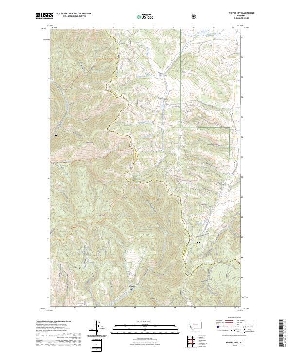
2024 Map of Whites City
USGS Topo · Published 2024About this map
Whites City sits at the heart of this mountainous landscape along the Meagher and Broadwater County line. The terrain is characterized by a dense network of gulches and ridges within the Helena National Forest, reflecting a legacy of resource extraction and high-country land use. Named drainages like Ready Cash Gulch and Cement Gulch suggest the area's prospecting history, while features like Lambing Camp Gulch point to the region's seasonal grazing heritage.
Find a feature on this map
58 named features on this map. Tap any name to fly to it.
Don’t see what you’re looking for? This feature index may not catch every label — zoom into the map to look around manually.
Map Details
Editions of this 2024 Whites City Map
This is the sole edition of this map. No revisions or reprints were ever made.
Other maps of this area

1886 · Fort Logan
USGS Topo · 1:250,000

1948 · White Sulphur Springs
USGS Topo · 1:250,000

1950 · Canyon Ferry
USGS Topo · 1:62,500

1958 · White Sulphur Springs
USGS Topo · 1:250,000

1961 · White Sulphur Springs
USGS Topo · 1:250,000

1962 · Snedaker Basin
USGS Topo · 1:24,000

1965 · White Sulphur Springs
USGS Topo · 1:250,000

1966 · Boulder Baldy
USGS Topo · 1:24,000

1966 · Diamond City
USGS Topo · 1:24,000

1966 · Lingshire
USGS Topo · 1:24,000