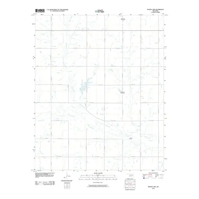
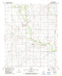
2010 Map of Whites Lake
USGS Topo · Published 2010About this map
Deep Red Creek and its seasonal tributaries define the landscape of this southwest Oklahoma region during the early 21st century. The terrain is characterized by a precise grid of county roads, including Co Rd N2470 and Co Rd E1880, which serve the agricultural parcels of Tillman County. Water management is a primary feature of the local geography, visible in the system of dams and reservoirs such as Whites Lake and its associated Whites Lake Dam.
Find a feature on this map
24 named features on this map. Tap any name to fly to it.
Don’t see what you’re looking for? This feature index may not catch every label — zoom into the map to look around manually.
Map Details
Editions of this 2010 Whites Lake Map
This is the sole edition of this map. No revisions or reprints were ever made.
Other maps of this area

1955 · Lawton
USGS Topo · 1:250,000

1957 · Burkburnett
USGS Topo · 1:62,500

1957 · Randlett
USGS Topo · 1:62,500

1962 · Chattanooga
USGS Topo · 1:62,500

1962 · Walters
USGS Topo · 1:62,500
1985 · Randlett
USGS Topo · 1:24,000
1985 · Grandfield
USGS Topo · 1:24,000
1985 · Devol
USGS Topo · 1:24,000

1985 · Burkburnett
USGS Topo · 1:100,000
1987 · Faxon
USGS Topo · 1:24,000