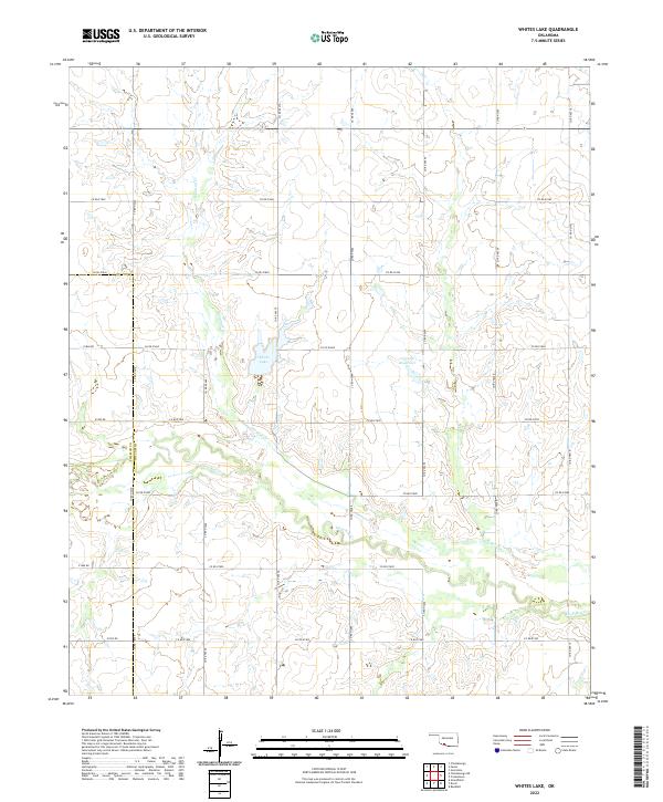
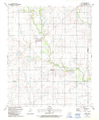
2022 Map of Whites Lake
USGS Topo · Published 2022About this map
Sanatag Cr and Deep Red Cr define the hydrological character of this southwestern Oklahoma landscape, where the prairie meets the engineered water management systems of the 21st century. The map centered on Whites Lake illustrates a highly organized section-line road grid, including Co RD e1860 and Co RD n2480, which partition the land for large-scale agricultural use.
Find a feature on this map
30 named features on this map. Tap any name to fly to it.
Don’t see what you’re looking for? This feature index may not catch every label — zoom into the map to look around manually.
Map Details
Editions of this 2022 Whites Lake Map
This is the sole edition of this map. No revisions or reprints were ever made.
Other maps of this area

1955 · Lawton
USGS Topo · 1:250,000

1957 · Burkburnett
USGS Topo · 1:62,500

1957 · Randlett
USGS Topo · 1:62,500

1962 · Chattanooga
USGS Topo · 1:62,500

1962 · Walters
USGS Topo · 1:62,500
1985 · Randlett
USGS Topo · 1:24,000
1985 · Grandfield
USGS Topo · 1:24,000
1985 · Devol
USGS Topo · 1:24,000

1985 · Burkburnett
USGS Topo · 1:100,000
1987 · Faxon
USGS Topo · 1:24,000