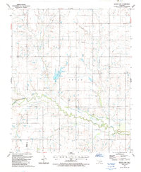
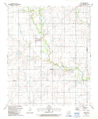
1987 Map of Whites Lake
USGS Topo · Published 1987About this map
The waters of Deep Red Creek wind through the borderlands of Cotton and Tillman counties in this late-twentieth-century study of the Oklahoma landscape. The area is defined by a series of drainages, including the meandering Sanatag Creek, which feed into the larger river system. A primary landmark in the northern portion of the map is Ahpeatone Ch, serving as a focal point for the surrounding rural community.
Find a feature on this map
10 named features on this map. Tap any name to fly to it.
Don’t see what you’re looking for? This feature index may not catch every label — zoom into the map to look around manually.
Map Details
Editions of this 1987 Whites Lake Map
This is the sole edition of this map. No revisions or reprints were ever made.
Other maps of this area

1955 · Lawton
USGS Topo · 1:250,000

1957 · Burkburnett
USGS Topo · 1:62,500

1957 · Randlett
USGS Topo · 1:62,500

1962 · Chattanooga
USGS Topo · 1:62,500

1962 · Walters
USGS Topo · 1:62,500
1985 · Randlett
USGS Topo · 1:24,000
1985 · Grandfield
USGS Topo · 1:24,000
1985 · Devol
USGS Topo · 1:24,000

1985 · Burkburnett
USGS Topo · 1:100,000
1987 · Faxon
USGS Topo · 1:24,000