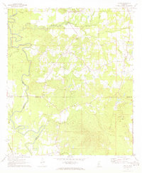
1971 Map of Whites
USGS Topo · Published 1973About this map
Pearl River and its intricate network of tributaries, including Steen Creek and Rocky Creek, define this rural Mississippi landscape at the intersection of four counties. Small rural settlements like Whites and Sinai serve as anchors for the local community, which is largely organized around dispersed family farms and timber tracts. The Gulf Mobile and Ohio railroad corridor runs through the southwest, connecting the area to larger regional markets via Gatesville.
Find a feature on this map
33 named features on this map. Tap any name to fly to it.
Don’t see what you’re looking for? This feature index may not catch every label — zoom into the map to look around manually.
Map Details
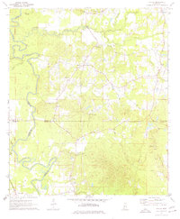
Editions of this 1971 Whites Map
2 editions found
Other maps of this area

1903 · Jackson
USGS Topo · 1:125,000

1906 · Florence
USGS Topo · 1:62,500

1908 · Florence
USGS Topo · 1:62,500

1937 · Terry
USGS Topo · 1:48,000

1943 · Terry
USGS Topo · 1:62,500

1953 · Natchez
USGS Topo · 1:250,000

1955 · Jackson
USGS Topo · 1:250,000

1956 · Natchez
USGS Topo · 1:250,000

1959 · Natchez
USGS Topo · 1:250,000

1961 · Jackson
USGS Topo · 1:250,000