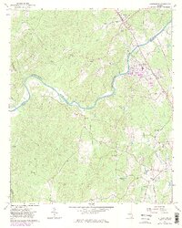
1965 Map of Whitesburg
USGS Topo · Published 1983About this map
The Chattahoochee River carves a deep valley through the center of this terrain, acting as the natural boundary between Carroll and Coweta counties. Along its banks, industrial and infrastructure development is evident at the Yates settlement, where a conveyor powerplant, a gaging station, and several settling ponds indicate the river's role in local power generation and industry. The Central of Georgia railroad provides the primary transportation spine, running through Whitesburg and south toward the power facilities.
Find a feature on this map
37 named features on this map. Tap any name to fly to it.
Don’t see what you’re looking for? This feature index may not catch every label — zoom into the map to look around manually.
Map Details
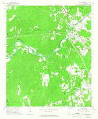
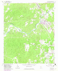
Editions of this 1965 Whitesburg Map
3 editions found
Other maps of this area

1889 · Tallapoosa
USGS Topo · 1:125,000

1891 · Marietta
USGS Topo · 1:125,000

1892 · Tallapoosa
USGS Topo · 1:125,000

1895 · Marietta
USGS Topo · 1:125,000

1897 · Marietta
USGS Topo · 1:125,000

1897 · Tallapoosa
USGS Topo · 1:125,000

1899 · Wedowee
USGS Topo · 1:125,000

1901 · Marietta
USGS Topo · 1:125,000

1902 · Wedowee
USGS Topo · 1:125,000

1953 · Atlanta
USGS Topo · 1:250,000