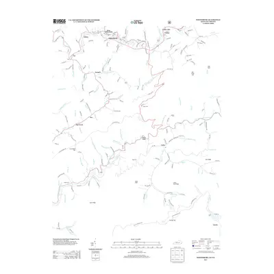
2013 Map of Whitesburg
USGS Topo · Published 2013About this map
The N Fork Kentucky River defines the northern reaches of this mountain landscape, winding through the valley near Whitesburg and West Whitesburg. This area is characterized by deep hollows and ridges, such as Little Fork Ridge and Barn Ridge, which have long dictated the placement of small communities and family farmsteads. Significant family-named landmarks including Blair Cem, Maggard Cem, and Boggs Cem are scattered across the terrain, reflecting deep roots in the region. The southern edge of the survey transitions toward the Poor Fork Cumberland River near Eolia. This hydrology creates a distinct geographical divide, where the headwaters of two major river systems nearly meet. Industrial influence is noted by the presence of the CSX RR and labels like Coal Company Rd, indicating the importance of resource extraction to the local economy near Ice and Whitco.
Find a feature on this map
152 named features on this map. Tap any name to fly to it.
Don’t see what you’re looking for? This feature index may not catch every label — zoom into the map to look around manually.
Map Details
Editions of this 2013 Whitesburg Map
This is the sole edition of this map. No revisions or reprints were ever made.
Other maps of this area

1890 · Whitesburg
USGS Topo · 1:125,000

1892 · Whitesburg
USGS Topo · 1:125,000

1894 · Estillville
USGS Topo · 1:125,000

1912 · Pound
USGS Topo · 1:48,000

1913 · Oven Fork
USGS Topo · 1:48,000

1914 · Pound
USGS Topo · 1:62,500

1915 · Whitesburg
USGS Topo · 1:62,500

1920 · Wise
USGS Topo · 1:48,000

1921 · Big Stone Gap
USGS Topo · 1:48,000

1921 · Wise
USGS Topo · 1:62,500