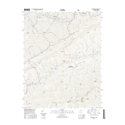
2016 Map of Whitesburg
USGS Topo · Published 2016About this map
Whitesburg serves as a central hub in this survey, where the North Fork Kentucky River meets a complex network of local branches and hollows. The settlement pattern follows the narrow valley floors, with communities like Whitco, Ermine, and Mayking clustered along the water and the CSX RR line. To the south, the terrain rises sharply toward Pine Mountain and the Tennessee Valley Divide, where the waters of the Poor Fork Cumberland River begin their journey. This landscape is a patchwork of small family-named landmarks and mountain gaps, including Scuttlenole Gap and Ran Polly Gap. Local history is preserved in numerous upland burial sites such as Blair Cem, Boggs Cem, and Parsons Cem, which sit tucked away from the main thoroughfares. A portion of the Jefferson National Forest spans the ridges, marking the transition into the high country near the Kentucky Virginia state line.
Find a feature on this map
79 named features on this map. Tap any name to fly to it.
Don’t see what you’re looking for? This feature index may not catch every label — zoom into the map to look around manually.
Map Details
Editions of this 2016 Whitesburg Map
This is the sole edition of this map. No revisions or reprints were ever made.
Other maps of this area

1890 · Whitesburg
USGS Topo · 1:125,000

1892 · Whitesburg
USGS Topo · 1:125,000

1894 · Estillville
USGS Topo · 1:125,000

1912 · Pound
USGS Topo · 1:48,000

1913 · Oven Fork
USGS Topo · 1:48,000

1914 · Pound
USGS Topo · 1:62,500

1915 · Whitesburg
USGS Topo · 1:62,500

1920 · Wise
USGS Topo · 1:48,000

1921 · Big Stone Gap
USGS Topo · 1:48,000

1921 · Wise
USGS Topo · 1:62,500