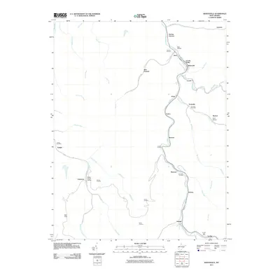
2011 Map of Whitesville
USGS Topo · Published 2011About this map
Whitesville and the winding Big Coal River anchor this 2011 survey of the Coal River Valley, where industrial and community life follow the narrow drainage corridors of the Allegheny Plateau. The map traces a string of coal-country settlements including Jarrolds Valley, Leevale, and Pettus along the Marsh Fork, revealing a landscape defined by the convergence of steep hollows like Bear Hollow and Coon Hollow. Family history is preserved in several upland burial grounds, including Jarrells Cemetery and Mordue Cemetery.
Find a feature on this map
55 named features on this map. Tap any name to fly to it.
Don’t see what you’re looking for? This feature index may not catch every label — zoom into the map to look around manually.
Map Details
Editions of this 2011 Whitesville Map
This is the sole edition of this map. No revisions or reprints were ever made.
Other maps of this area

1891 · Oceana
USGS Topo · 1:125,000

1891 · Raleigh
USGS Topo · 1:125,000

1893 · Oceana
USGS Topo · 1:125,000

1897 · Kanawha Falls
USGS Topo · 1:125,000

1897 · Raleigh
USGS Topo · 1:125,000

1898 · Oceana
USGS Topo · 1:125,000

1899 · Charleston
USGS Topo · 1:125,000

1900 · Kanawha Falls
USGS Topo · 1:125,000

1901 · Kanawha Falls
USGS Topo · 1:125,000

1902 · Raleigh
USGS Topo · 1:125,000