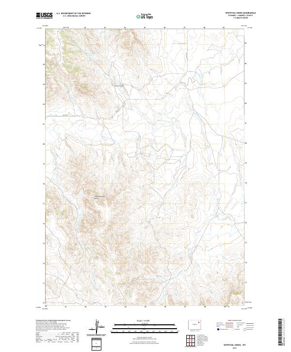
2021 Map of Whitetail Creek
USGS Topo · Published 2021About this map
The Belle Fourche River winds through this portion of Campbell County, shaping a landscape of deep drainages and prominent rises. The terrain is defined by the elevation of the Yellow Hammer Buttes in the southwest and the carved path of Cabin Canyon to the north. These natural landmarks provided critical orientation for early ranching operations in this part of Wyoming, where water sources like the Cabin Canyon Reservoir were essential for livestock in an arid environment.
Find a feature on this map
14 named features on this map. Tap any name to fly to it.
Don’t see what you’re looking for? This feature index may not catch every label — zoom into the map to look around manually.
Map Details
Editions of this 2021 Whitetail Creek Map
This is the sole edition of this map. No revisions or reprints were ever made.
Other maps of this area

1954 · Gillette
USGS Topo · 1:250,000

1955 · Newcastle
USGS Topo · 1:250,000

1955 · Gillette
USGS Topo · 1:250,000

1958 · Gillette
USGS Topo · 1:250,000

1958 · Newcastle
USGS Topo · 1:250,000

1962 · Gillette
USGS Topo · 1:250,000

1971 · Coyote Draw
USGS Topo · 1:24,000

1971 · Coon Track Creek
USGS Topo · 1:24,000

1971 · Whitetail Creek
USGS Topo · 1:24,000

1971 · Rough Creek
USGS Topo · 1:24,000