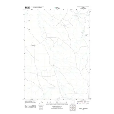
2012 Map of Whitetail Creek SE
USGS Topo · Published 2012About this map
Four Horse Cr dominates this corner of Wyoming, carving a path through the landscape of Campbell County. The map documents a sparsely settled grazing region defined by long-established family landholdings, including Pickrel Ranch and Dillinger Ranch in the northwest, Bowden Ranch near the center, and Baker Ranch further east. These named homesteads provide a point of reference in an area where topographical features like Mexican Draw and Cedar Draw dictate the local geography. Transportation is limited to functional ranching routes such as O R Rd and 4 Horse Rd. This 2012 survey captures the persistent rural character of the high plains, showing the relationship between water sources like Raven Cr and the enduring ranching economy that has shaped this part of the state for generations.
Find a feature on this map
10 named features on this map. Tap any name to fly to it.
Don’t see what you’re looking for? This feature index may not catch every label — zoom into the map to look around manually.
Map Details
Editions of this 2012 Whitetail Creek SE Map
This is the sole edition of this map. No revisions or reprints were ever made.
Other maps of this area

1918 · Moorcroft
USGS Topo · 1:125,000

1954 · Gillette
USGS Topo · 1:250,000

1955 · Newcastle
USGS Topo · 1:250,000

1955 · Gillette
USGS Topo · 1:250,000

1958 · Gillette
USGS Topo · 1:250,000

1958 · Newcastle
USGS Topo · 1:250,000

1962 · Gillette
USGS Topo · 1:250,000

1971 · Coon Track Creek
USGS Topo · 1:24,000

1971 · Whitetail Creek
USGS Topo · 1:24,000

1971 · Rough Creek
USGS Topo · 1:24,000