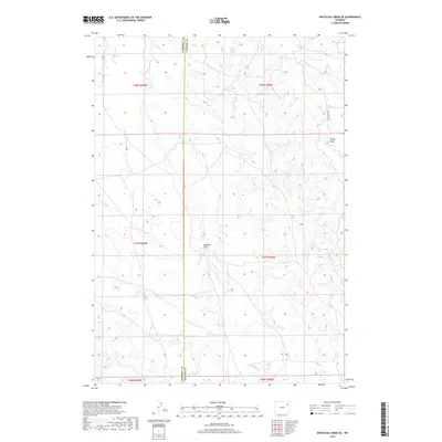
2017 Map of Whitetail Creek SE
USGS Topo · Published 2017About this map
The borderlands of Campbell and Weston Counties are defined by a complex network of seasonal drainages and cattle country. Four Horse Cr and Raven Cr wind through the township, carving out natural draws like Mexican Draw and Cedar Draw. This 2017 survey reflects a landscape shaped by both nature and early Wyoming land management, with the straight lines of the Public Land Survey System overlaying the fluid topography. Connectivity across this high plains terrain is provided by local routes such as O-R Rd and Four Horse Rd, which follow the natural contours of the land while respecting the legal grid. The map serves as a detailed record of the contemporary rangeland, preserving the exact relationship between modern property boundaries and historical watercourses.
Find a feature on this map
13 named features on this map. Tap any name to fly to it.
Don’t see what you’re looking for? This feature index may not catch every label — zoom into the map to look around manually.
Map Details
Editions of this 2017 Whitetail Creek SE Map
This is the sole edition of this map. No revisions or reprints were ever made.
Other maps of this area

1918 · Moorcroft
USGS Topo · 1:125,000

1954 · Gillette
USGS Topo · 1:250,000

1955 · Newcastle
USGS Topo · 1:250,000

1955 · Gillette
USGS Topo · 1:250,000

1958 · Gillette
USGS Topo · 1:250,000

1958 · Newcastle
USGS Topo · 1:250,000

1962 · Gillette
USGS Topo · 1:250,000

1971 · Coon Track Creek
USGS Topo · 1:24,000

1971 · Whitetail Creek
USGS Topo · 1:24,000

1971 · Rough Creek
USGS Topo · 1:24,000