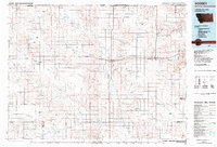
2024 Map of Whitetail
USGS Topo · Published 2024About this map
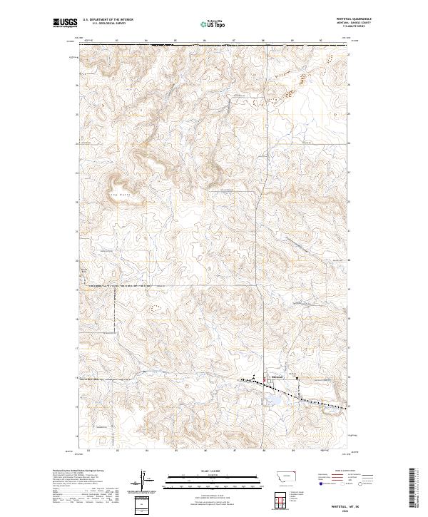
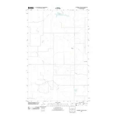
Whitetail sits near the northern boundary of Daniels County, Montana, just south of the United States of America border. This high plains landscape is defined by the drainages of Whitetail Creek and a network of northern coulees, including Loomis Coulee and Outlaw Coulee. The topography is punctuated by prominent elevations such as Long Butte and Square Butte, which provide significant vertical relief against the surrounding agricultural and range lands. The grid-based road system, including W Whitetail Rd and N Rangeline Rd, reflects the late 20th and early 21st-century land management patterns of this border region. Local history is anchored at the Whitetail Cem, located just east of the primary settlement, serving as a focal point for genealogical interest in this remote northern Montana community.
Find a feature on this map
26 named features on this map. Tap any name to fly to it.
Don’t see what you’re looking for? This feature index may not catch every label — zoom into the map to look around manually.
Map Details
Editions of this 2024 Whitetail Map
This is the sole edition of this map. No revisions or reprints were ever made.
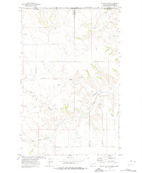
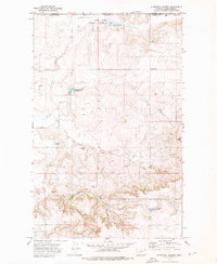
Other maps of this area

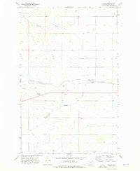
1954 · Wolf Point
USGS Topo · 1:250,000

1958 · Wolf Point
USGS Topo · 1:250,000
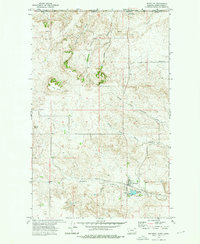
1973 · Madoc
USGS Topo · 1:24,000
1973 · Flaxville
USGS Topo · 1:24,000
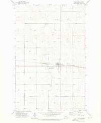
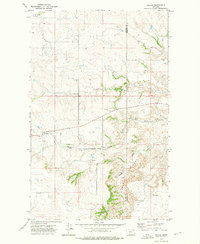
1973 · Whitetail
USGS Topo · 1:24,000
1973 · Navajo
USGS Topo · 1:24,000
1973 · Goodale Coulee
USGS Topo · 1:24,000
1973 · Si Merrell Slough
USGS Topo · 1:24,000
1983 · Scobey
USGS Topo · 1:100,000
2011 · Si Merrell Slough
USGS Topo · 1:24,000