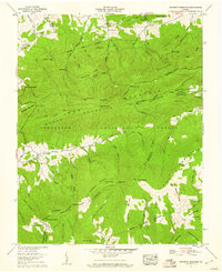
1959 Map of Whitetop Mountain
USGS Topo · Published 1960About this map
Mt Rogers and the surrounding high peaks of the Jefferson National Forest dominate this late-1950s survey of the Virginia highlands. The landscape is defined by its ridge-and-hollow topography, where the Appalachian Trail traverses the crests of Iron Mountain and Grave Ridge. The settlement pattern follows the drainage of numerous mountain streams, with small communities and centers of local life such as Stony Battery established in the more accessible lowlands. For genealogists and local historians, the map identifies several rural houses of worship and burial grounds, including Mount Olive Ch, Parker Chapel, and the Rowland Creek Cem. These features, alongside named peaks like Round Top and Double Top, show the intersection of pioneer-era settlement and the protected wilderness of the Blue Ridge.
Find a feature on this map
86 named features on this map. Tap any name to fly to it.
Don’t see what you’re looking for? This feature index may not catch every label — zoom into the map to look around manually.
Map Details
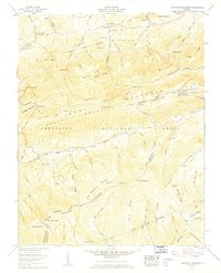
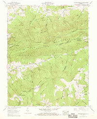
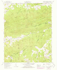
Editions of this 1959 Whitetop Mountain Map
4 editions found
Other maps of this area

1889 · Wytheville
USGS Topo · 1:125,000

1891 · Abingdon
USGS Topo · 1:125,000

1892 · Wytheville
USGS Topo · 1:125,000

1894 · Abingdon
USGS Topo · 1:125,000

1909 · Abingdon
USGS Topo · 1:96,000

1911 · Abingdon
USGS Topo · 1:125,000

1931 · Rural Retreat
USGS Topo · 1:48,000

1935 · Konnarock
USGS Topo · 1:24,000

1935 · Chilhowie
USGS Topo · 1:24,000

1935 · Mouth of Wilson
USGS Topo · 1:48,000