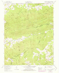
1959 Map of Whitetop Mountain
USGS Topo · Published 1978About this map
Mt Rogers and Whitetop Mtn dominate this high-altitude Virginia landscape, where the Balsam Mountains and Pine Mountain meet at the Smyth and Grayson County line. The terrain is marked by a network of ridges and gaps, including Seng Mountain, Elk Garden Ridge, and Barton Gap, within the extensive Jefferson National Forest.
Find a feature on this map
88 named features on this map. Tap any name to fly to it.
Don’t see what you’re looking for? This feature index may not catch every label — zoom into the map to look around manually.
Map Details
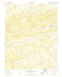
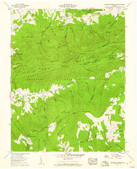
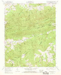
Editions of this 1959 Whitetop Mountain Map
4 editions found
Other maps of this area

1889 · Wytheville
USGS Topo · 1:125,000

1891 · Abingdon
USGS Topo · 1:125,000

1892 · Wytheville
USGS Topo · 1:125,000

1894 · Abingdon
USGS Topo · 1:125,000

1909 · Abingdon
USGS Topo · 1:96,000

1911 · Abingdon
USGS Topo · 1:125,000

1931 · Rural Retreat
USGS Topo · 1:48,000

1935 · Konnarock
USGS Topo · 1:24,000

1935 · Chilhowie
USGS Topo · 1:24,000

1935 · Mouth of Wilson
USGS Topo · 1:48,000