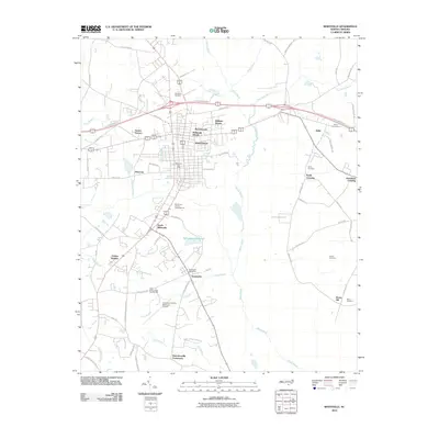
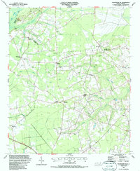
2010 Map of Whiteville
USGS Topo · Published 2010About this map
The town of Whiteville serves as the central hub of this Columbus County landscape, surrounded by a ring of residential developments including Sunset Terrace, Runnymeade, and Fairfax Heights. The geography is defined by a low-lying network of water bodies, most notably the wide White Marsh which drains the eastern portion of the quadrangle. Significant infrastructure is evident south of the town center, where the Columbus County Municipal Airport and State Prison Camp Number 602 are located near the headwaters of Camp Branch.
Find a feature on this map
75 named features on this map. Tap any name to fly to it.
Don’t see what you’re looking for? This feature index may not catch every label — zoom into the map to look around manually.
Map Details
Editions of this 2010 Whiteville Map
This is the sole edition of this map. No revisions or reprints were ever made.
Other maps of this area

1943 · Nakina
USGS Topo · 1:24,000

1953 · Chadbourn
USGS Topo · 1:62,500

1953 · Florence
USGS Topo · 1:250,000

1954 · Florence
USGS Topo · 1:250,000

1955 · Whiteville
USGS Topo · 1:62,500
1962 · Tabor City East
USGS Topo · 1:24,000
1962 · Tabor City
USGS Topo · 1:62,500

1986 · Whiteville
USGS Topo · 1:100,000
1986 · Chadbourn
USGS Topo · 1:24,000
1986 · Chadbourn NE
USGS Topo · 1:24,000