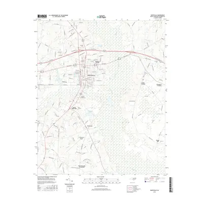
2016 Map of Whiteville
USGS Topo · Published 2016About this map
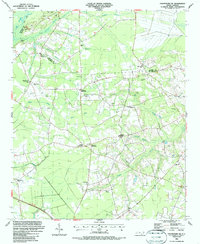
Whiteville serves as the central hub in this Columbus County landscape, where urban grid development meets the expansive wetlands of the coastal plain. The map reveals a community defined by its proximity to water, with the town situated between the dense Pine Log Swamp to the west and the broad White Marsh to the east. The drainage of Soules Swamp cuts through the heart of the settlement, illustrating the historical challenges of building in this low-lying region.
Find a feature on this map
156 named features on this map. Tap any name to fly to it.
Don’t see what you’re looking for? This feature index may not catch every label — zoom into the map to look around manually.
Map Details
Editions of this 2016 Whiteville Map
This is the sole edition of this map. No revisions or reprints were ever made.
Other maps of this area

1943 · Nakina
USGS Topo · 1:24,000

1953 · Chadbourn
USGS Topo · 1:62,500

1953 · Florence
USGS Topo · 1:250,000

1954 · Florence
USGS Topo · 1:250,000

1955 · Whiteville
USGS Topo · 1:62,500
1962 · Tabor City East
USGS Topo · 1:24,000
1962 · Tabor City
USGS Topo · 1:62,500

1986 · Whiteville
USGS Topo · 1:100,000
1986 · Chadbourn
USGS Topo · 1:24,000
1986 · Chadbourn NE
USGS Topo · 1:24,000