
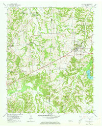
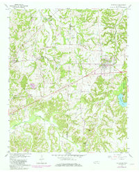
1959 Map of Whiteville
USGS Topo · Published 1960About this map
The Louisville and Nashville railroad corridor defines the development of this rural landscape, cutting through Whiteville as it moves westward toward the Fayette Co Hardeman Co line. This 1959 survey reveals a deeply settled agricultural region characterized by a high density of small community centers centered on churches and schools. Scattered settlements like Fayette Corners and Laconia are anchored by landmarks such as Smyrna Ch and Mt Moriah Sch, reflecting the localized social structures of mid-century West Tennessee.
Find a feature on this map
37 named features on this map. Tap any name to fly to it.
Don’t see what you’re looking for? This feature index may not catch every label — zoom into the map to look around manually.
Map Details
Editions of this 1959 Whiteville Map
3 editions found
Other maps of this area

1949 · Moscow
USGS Topo · 1:62,500

1950 · Middleburg
USGS Topo · 1:24,000

1951 · Middleburg
USGS Topo · 1:24,000

1951 · Hickory Valley
USGS Topo · 1:24,000

1952 · Dancyville
USGS Topo · 1:24,000

1952 · Laconia
USGS Topo · 1:24,000

1952 · Stanton
USGS Topo · 1:62,500

1956 · Blytheville
USGS Topo · 1:250,000

1959 · Blytheville
USGS Topo · 1:250,000

1959 · Hillville
USGS Topo · 1:24,000