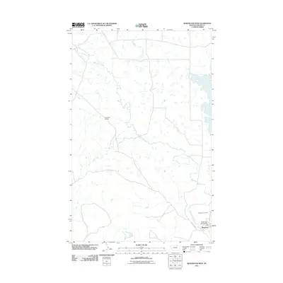
2011 Map of Whitewater West
USGS Topo · Published 2011About this map
Whitewater serves as the small civic hub for this portion of Phillips County, Montana, situated at the confluence of local infrastructure and natural waterways. The settlement is anchored by the Whitewater Post Office and the Phillips Co Vol Fire Company Whitewater Sta, reflecting the community-oriented organization of this prairie landscape. The area is defined by a dendritic network of seasonal and perennial watercourses, including the winding path of Whitewater Creek and its various tributaries such as Dibble Creek and Lone Tree Coulee. These features suggest a reliance on water sources like Dibble Spring in an otherwise semi-arid environment. The roadway network, centered on Whitewater Rd and Main St, illustrates the primary access points for this rural ranching or farming territory during the early 21st century.
Find a feature on this map
9 named features on this map. Tap any name to fly to it.
Don’t see what you’re looking for? This feature index may not catch every label — zoom into the map to look around manually.
Map Details
Editions of this 2011 Whitewater West Map
This is the sole edition of this map. No revisions or reprints were ever made.
Other maps of this area

1920 · Cowan
USGS Topo · 1:125,000

1954 · Glasgow
USGS Topo · 1:250,000

1957 · Glasgow
USGS Topo · 1:250,000

1958 · Glasgow
USGS Topo · 1:250,000

1968 · Tattnall
USGS Topo · 1:24,000

1968 · Austin Lake
USGS Topo · 1:24,000

1984 · Pea Lake
USGS Topo · 1:24,000

1984 · Whitewater East
USGS Topo · 1:24,000

1984 · Austin Coulee
USGS Topo · 1:24,000

1984 · Whitewater West
USGS Topo · 1:24,000