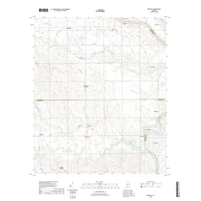
2018 Map of Whitfield
USGS Topo · Published 2018About this map
The borderlands of Choctaw, Sumter, and Marengo counties are defined here by the winding course of the Tombigbee River, where Turkey Shoals and Coffeeville Lake meet along the eastern edge of the quadrangle. This 2018 survey reveals a landscape largely shaped by its hydrology, with numerous creeks like Cotohaga Creek and Burll Cr draining the interior towards the river. Small settlements and crossroads communities are distributed across the high ground, connected by a network of rural routes such as Co Rd 42 and Boll Weevil Rd.
Find a feature on this map
49 named features on this map. Tap any name to fly to it.
Don’t see what you’re looking for? This feature index may not catch every label — zoom into the map to look around manually.
Map Details
Editions of this 2018 Whitfield Map
This is the sole edition of this map. No revisions or reprints were ever made.
Other maps of this area

1953 · Montgomery
USGS Topo · 1:250,000

1953 · Meridian
USGS Topo · 1:250,000

1956 · Montgomery
USGS Topo · 1:250,000

1957 · Meridian
USGS Topo · 1:250,000

1957 · Montgomery
USGS Topo · 1:250,000

1965 · Meridian
USGS Topo · 1:250,000

1970 · Myrtlewood North
USGS Topo · 1:24,000
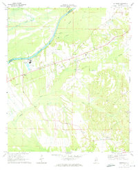
1970 · Jefferson
USGS Topo · 1:24,000

1971 · Whitfield
USGS Topo · 1:24,000

1971 · Coatopa
USGS Topo · 1:24,000