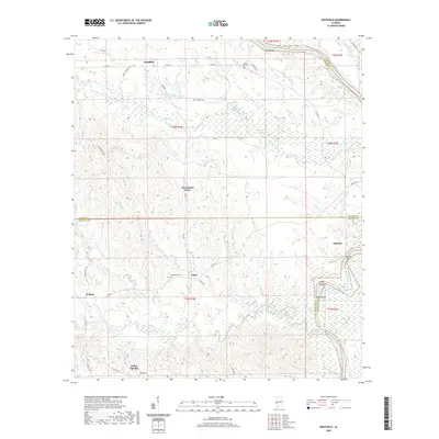
2020 Map of Whitfield
USGS Topo · Published 2020About this map
Whitfield and the surrounding timber and creek lands of west Alabama are defined by a network of drainage systems like Cotohaga Creek and Kinterbish Creek. The terrain is characterized by prominent elevations such as Black Bluff and Maggs Bluff, which overlook the eastern water bodies. Historical settlement patterns are evident in the placement of the Black Bluff Cem and Bethlehem Cem, situated near small community centers like Edna and Persimmon Grove.
Find a feature on this map
51 named features on this map. Tap any name to fly to it.
Don’t see what you’re looking for? This feature index may not catch every label — zoom into the map to look around manually.
Map Details
Editions of this 2020 Whitfield Map
This is the sole edition of this map. No revisions or reprints were ever made.
Other maps of this area

1953 · Montgomery
USGS Topo · 1:250,000

1953 · Meridian
USGS Topo · 1:250,000

1956 · Montgomery
USGS Topo · 1:250,000

1957 · Meridian
USGS Topo · 1:250,000

1957 · Montgomery
USGS Topo · 1:250,000

1965 · Meridian
USGS Topo · 1:250,000

1970 · Myrtlewood North
USGS Topo · 1:24,000
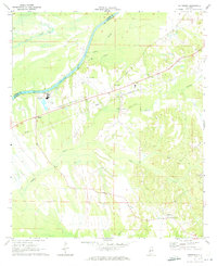
1970 · Jefferson
USGS Topo · 1:24,000

1971 · Whitfield
USGS Topo · 1:24,000

1971 · Coatopa
USGS Topo · 1:24,000