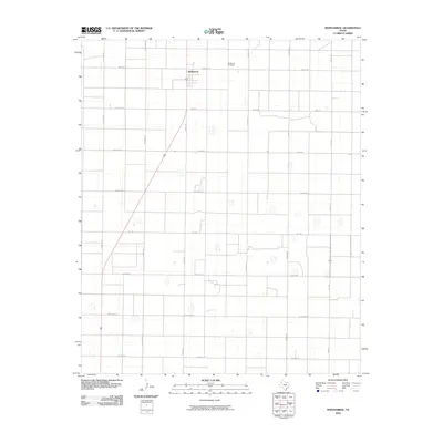
2010 Map of Whitharral
USGS Topo · Published 2010About this map
Whitharral serves as the central hub for this corner of Hockley County, a landscape defined by an exceptionally precise grid of agricultural sections and rural roads. The town's layout and the surrounding transportation network reflect a systematic development pattern typical of the Llano Estacado. The Whitharral Cemetery remains a primary landmark for local genealogy and history researchers, situated northeast of the main settlement. A unique naming convention for the secondary roads creates a world-spanning geography on a local scale, with routes like Mexico Rd, Jamaica Rd, and Hawaii Rd bisecting the expansive cotton and grain fields. State routes Fm 1294 and Fm 2646 provide the primary connections through this high plains region, where numerous small, seasonally dry water bodies dot the flat terrain between the section lines.
Find a feature on this map
21 named features on this map. Tap any name to fly to it.
Don’t see what you’re looking for? This feature index may not catch every label — zoom into the map to look around manually.
Map Details
Editions of this 2010 Whitharral Map
This is the sole edition of this map. No revisions or reprints were ever made.
Other maps of this area

1954 · Brownfield
USGS Topo · 1:250,000

1957 · Anton
USGS Topo · 1:62,500

1957 · Wolfforth
USGS Topo · 1:62,500

1958 · Brownfield
USGS Topo · 1:250,000

1962 · Brownfield
USGS Topo · 1:250,000

1964 · Oklahoma Flat
USGS Topo · 1:24,000

1964 · Lums Chapel
USGS Topo · 1:24,000

1964 · Whitharral
USGS Topo · 1:24,000

1965 · Levelland West
USGS Topo · 1:24,000

1965 · Levelland East
USGS Topo · 1:24,000