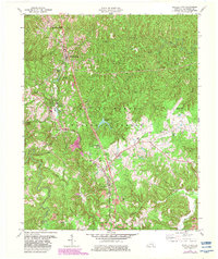
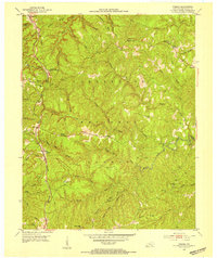
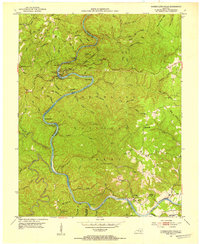
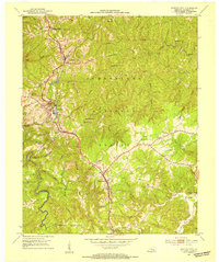
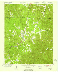
1979 Map of Whitley City
USGS Topo · Published 1983About this map
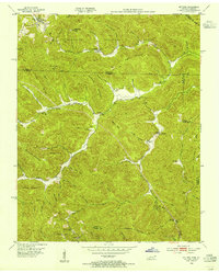
Whitley City serves as the focal point of this McCreary County survey, situated along the Southern railroad line that anchors the region's transportation network. The landscape is a mix of clustered settlements and the wooded reaches of the Daniel Boone National Forest. To the south, Pine Knot and Revelo demonstrate a linear development pattern following the rail corridor and the Kentucky And Tennessee route. Significant infrastructure is evident, including the McCreary County Airport and the Pine Knot Job Corps Center.
Find a feature on this map
40 named features on this map. Tap any name to fly to it.
Don’t see what you’re looking for? This feature index may not catch every label — zoom into the map to look around manually.
Map Details
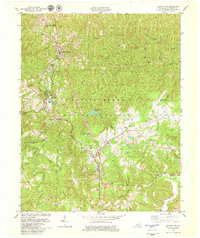
Editions of this 1979 Whitley City Map
2 editions found
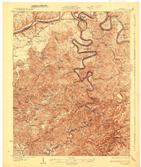
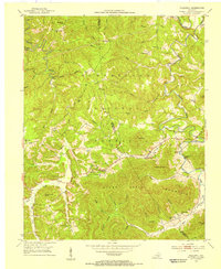
Other maps of this area

1890 · Williamsburg
USGS Topo · 1:125,000

1894 · Williamsburg
USGS Topo · 1:125,000
1932 · Burnside
USGS Topo · 1:62,500

1934 · Barthell
USGS Topo · 1:62,500
1952 · Hollyhill
USGS Topo · 1:24,000
1952 · Wiborg
USGS Topo · 1:24,000
1952 · Cumberland Falls
USGS Topo · 1:24,000
1952 · Whitley City
USGS Topo · 1:24,000
1953 · Winfield
USGS Topo · 1:24,000
1953 · Ketchen
USGS Topo · 1:24,000