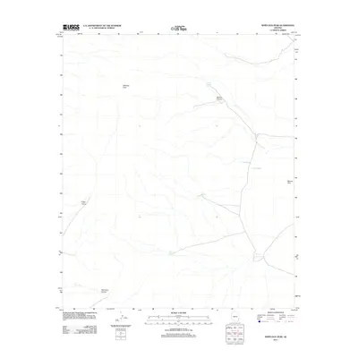
2011 Map of Whitlock Peak
USGS Topo · Published 2011About this map
Whitlock Peak anchors this arid Graham County landscape, rising above a network of drainages and seasonal water features in the southeastern Arizona desert. This 2011 survey illustrates the careful water management essential to the region, marked by various catchment points such as Tank Number One, Tank Number Five, and Big Tank. The topography is defined by significant washes and erosional features, including the aptly named Poppy Canyon and Old Camp Canyon, the latter of which suggests a history of temporary habitation or work sites in this remote terrain. To the east, the Bobcat Hills flank Lost Lake, providing a clear look at the geological and hydrological patterns that dictate movement and land use across these public lands. The lack of established settlements highlights the area's primary role for ranching or resource management during the early 21st century.
Find a feature on this map
10 named features on this map. Tap any name to fly to it.
Don’t see what you’re looking for? This feature index may not catch every label — zoom into the map to look around manually.
Map Details
Editions of this 2011 Whitlock Peak Map
This is the sole edition of this map. No revisions or reprints were ever made.
Other maps of this area

1917 · San Simon
USGS Topo · 1:125,000

1926 · Orange Butte
USGS Topo · 1:62,500

1928 · Bowie
USGS Topo · 1:62,500

1949 · Bowie
USGS Topo · 1:62,500

1950 · San Simon
USGS Topo · 1:62,500

1950 · Bowie
USGS Topo · 1:62,500

1951 · San Simon
USGS Topo · 1:62,500

1954 · Silver City
USGS Topo · 1:250,000

1958 · Silver City
USGS Topo · 1:250,000

1960 · Duncan
USGS Topo · 1:62,500