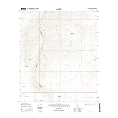
2014 Map of Whitlock Peak
USGS Topo · Published 2014About this map
Whitlock Peak stands as the primary landmark in this high-desert landscape, situated along the county boundary where Graham and Greenlee counties meet. The terrain is defined by a series of significant drainage systems, including Stocks Canyon and Gillispie Canyon to the north, and Old Camp Canyon near the southern edge. These dry washes and canyons suggest a history of seasonal water management in a demanding environment, evidenced by the scattered catchment features like Big Tank and Tank Number Five. To the east, the Bobcat Hills rise above the surrounding flats, while the broad expanse of Whitlock Valley stretches across the southwest. The presence of Sands Draw and Round Mountain Draw indicates the complex alluvial patterns that have shaped this portion of southeastern Arizona.
Find a feature on this map
22 named features on this map. Tap any name to fly to it.
Don’t see what you’re looking for? This feature index may not catch every label — zoom into the map to look around manually.
Map Details
Editions of this 2014 Whitlock Peak Map
This is the sole edition of this map. No revisions or reprints were ever made.
Other maps of this area

1917 · San Simon
USGS Topo · 1:125,000

1926 · Orange Butte
USGS Topo · 1:62,500

1928 · Bowie
USGS Topo · 1:62,500

1949 · Bowie
USGS Topo · 1:62,500

1950 · San Simon
USGS Topo · 1:62,500

1950 · Bowie
USGS Topo · 1:62,500

1951 · San Simon
USGS Topo · 1:62,500

1954 · Silver City
USGS Topo · 1:250,000

1958 · Silver City
USGS Topo · 1:250,000

1960 · Duncan
USGS Topo · 1:62,500