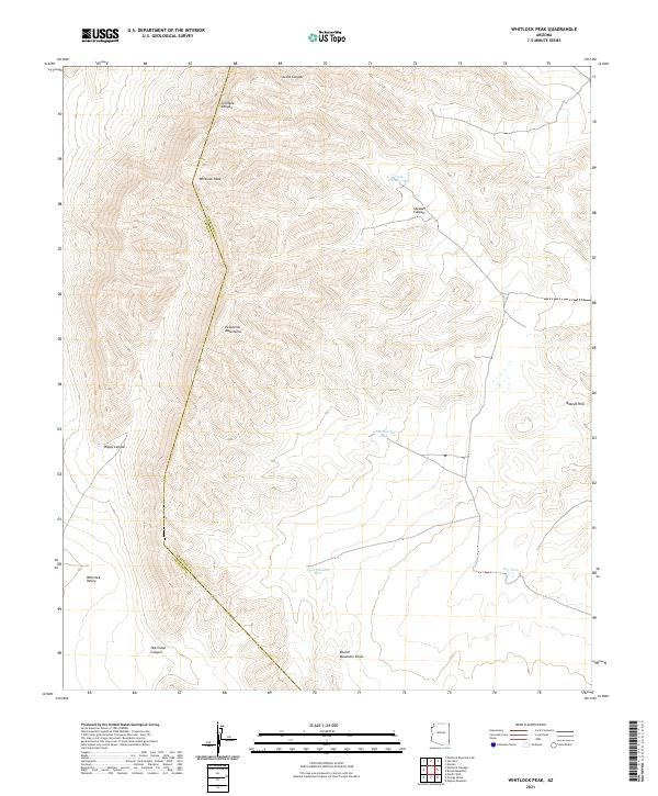
2021 Map of Whitlock Peak
USGS Topo · Published 2021About this map
Whitlock Peak stands as the primary landmark in this high-desert landscape, where the arid terrain is defined by dramatic relief and strategic water management. The boundary between Greenlee and Graham counties cuts through the rugged western slope, separating the high elevations of the Peloncillo Mountains from the drainage basins to the south. Historically, the management of scarce water resources is evident in the placement of several cattle tanks, including Big Tank, Tank Number One, and Tank Number Five, which provided essential sustenance for ranching operations in this isolated environment.
Find a feature on this map
21 named features on this map. Tap any name to fly to it.
Don’t see what you’re looking for? This feature index may not catch every label — zoom into the map to look around manually.
Map Details
Editions of this 2021 Whitlock Peak Map
This is the sole edition of this map. No revisions or reprints were ever made.
Other maps of this area

1917 · San Simon
USGS Topo · 1:125,000

1926 · Orange Butte
USGS Topo · 1:62,500

1928 · Bowie
USGS Topo · 1:62,500

1949 · Bowie
USGS Topo · 1:62,500

1950 · San Simon
USGS Topo · 1:62,500

1950 · Bowie
USGS Topo · 1:62,500

1951 · San Simon
USGS Topo · 1:62,500

1954 · Silver City
USGS Topo · 1:250,000

1958 · Silver City
USGS Topo · 1:250,000

1960 · Duncan
USGS Topo · 1:62,500