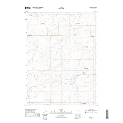
2017 Map of Whitman
USGS Topo · Published 2017About this map
The unincorporated community of Whitman serves as the focal point of this Nebraska Sandhills survey, located along the southern edge of the Cherry Co Grant Co line. The landscape is defined by the high-plains hydrology of the S Br Middle Loup River, which meanders through the northern townships, and isolated water bodies like Doc Lake. A small Po marks the center of activity in the settlement, providing a vital anchor for the surrounding ranching country.
Find a feature on this map
22 named features on this map. Tap any name to fly to it.
Don’t see what you’re looking for? This feature index may not catch every label — zoom into the map to look around manually.
Map Details
Editions of this 2017 Whitman Map
This is the sole edition of this map. No revisions or reprints were ever made.
Other maps of this area

1948 · Carr Lake
USGS Topo · 1:62,500

1948 · Whitman
USGS Topo · 1:62,500

1948 · Spring Valley
USGS Topo · 1:62,500

1950 · Spring Valley
USGS Topo · 1:62,500

1950 · Whitman
USGS Topo · 1:62,500

1950 · Carr Lake
USGS Topo · 1:62,500

1950 · Hire
USGS Topo · 1:62,500

1954 · North Platte
USGS Topo · 1:250,000

1956 · North Platte
USGS Topo · 1:250,000

1957 · North Platte
USGS Topo · 1:250,000