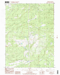
1986 Map of Whitmore
USGS Topo · Published 1986About this map
Little Cow Creek and Old Cow Creek define the complex drainage patterns of this Shasta County landscape, where numerous tributaries such as Rosebriar Creek and Oak Run Creek cut through the terrain. The map captures a mid-1980s look at the infrastructure of the region, anchored by the Buckhorn Forest Fire Station and the Whitmore Forest Fire Station. These stations, along with prominent topographic features like Bullskin Ridge and Gold Hill, reflect the area's rural character and the importance of fire management in the timbered hills.
Find a feature on this map
25 named features on this map. Tap any name to fly to it.
Don’t see what you’re looking for? This feature index may not catch every label — zoom into the map to look around manually.
Map Details
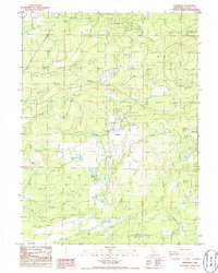
Editions of this 1986 Whitmore Map
2 editions found
Other maps of this area

1886 · Lassen Peak
USGS Topo · 1:250,000

1890 · Red Bluff
USGS Topo · 1:250,000

1892 · Lassen Peak
USGS Topo · 1:250,000

1894 · Lassen Peak
USGS Topo · 1:250,000

1894 · Red Bluff
USGS Topo · 1:250,000

1901 · Redding
USGS Topo · 1:125,000

1935 · Burney
USGS Topo · 1:96,000

1939 · Burney
USGS Topo · 1:125,000

1949 · Bollibokka Mtn
USGS Topo · 1:62,500

1953 · Millville
USGS Topo · 1:62,500