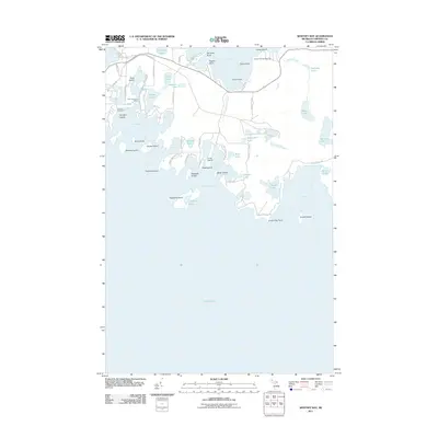
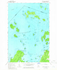
2011 Map of Whitney Bay
USGS Topo · Published 2011About this map
Old Fort Drummond marks a point of historical significance on the western edge of this island landscape, overlooking the waters of Whitney Bay. The coast is defined by a complex network of inlets and islands, including Duck Island, Garden Island, and the larger Espanore Island which shelters Island Harbor. Inland, the area is punctuated by numerous small lakes such as Parish Lake, Seaman Lake, and Bear Lake, reflecting the glacial legacy of this northern Michigan territory.
Find a feature on this map
66 named features on this map. Tap any name to fly to it.
Don’t see what you’re looking for? This feature index may not catch every label — zoom into the map to look around manually.
Map Details
Editions of this 2011 Whitney Bay Map
This is the sole edition of this map. No revisions or reprints were ever made.
Other maps of this area

1954 · Alpena
USGS Topo · 1:250,000

1957 · Alpena
USGS Topo · 1:250,000

1958 · Alpena
USGS Topo · 1:250,000

1961 · Blind River
USGS Topo · 1:250,000
1964 · De Tour Village
USGS Topo · 1:24,000

1964 · Drummond
USGS Topo · 1:24,000
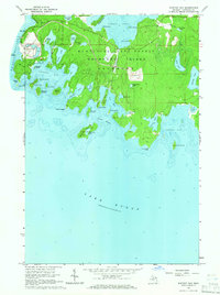
1964 · Whitney Bay
USGS Topo · 1:24,000
1964 · Lime Island
USGS Topo · 1:24,000

1964 · Meade Island
USGS Topo · 1:24,000
1964 · Burnt Island
USGS Topo · 1:24,000