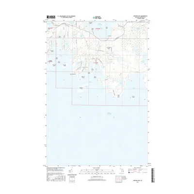
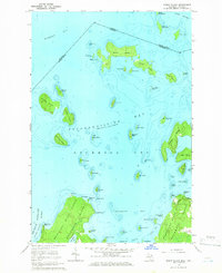
2017 Map of Whitney Bay
USGS Topo · Published 2017About this map
Drummond Island anchors this coastal survey, where the rugged southern shoreline of Michigan’s Upper Peninsula meets the northern reaches of Lake Huron. The landscape is a complex archipelago of smaller landforms including Garden Island, Espanore Island, and Bootjack Island, which shield the waters of Whitney Bay and Island Harbor. This environment is characterized by a dense network of inland lakes such as Stringham Lake, Jones Lake, and Gravel Lake, many of which are connected by seasonal streams like Maushie Cr.
Find a feature on this map
72 named features on this map. Tap any name to fly to it.
Don’t see what you’re looking for? This feature index may not catch every label — zoom into the map to look around manually.
Map Details
Editions of this 2017 Whitney Bay Map
This is the sole edition of this map. No revisions or reprints were ever made.
Other maps of this area

1954 · Alpena
USGS Topo · 1:250,000

1957 · Alpena
USGS Topo · 1:250,000

1958 · Alpena
USGS Topo · 1:250,000

1961 · Blind River
USGS Topo · 1:250,000
1964 · De Tour Village
USGS Topo · 1:24,000

1964 · Drummond
USGS Topo · 1:24,000
1964 · Whitney Bay
USGS Topo · 1:24,000
1964 · Lime Island
USGS Topo · 1:24,000

1964 · Meade Island
USGS Topo · 1:24,000
1964 · Burnt Island
USGS Topo · 1:24,000