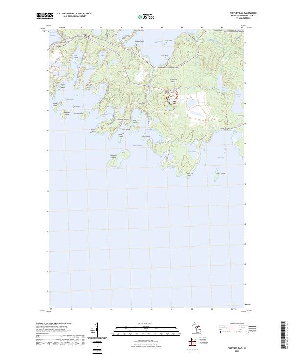
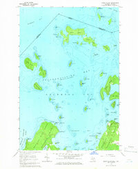
2023 Map of Whitney Bay
USGS Topo · Published 2023About this map
Drummond Island and its surrounding archipelago define this coastal landscape at the eastern edge of the Upper Peninsula. The map details a complex interface of land and water, where De Tour Passage separates the island from the mainland to the west. Interior features like Jones Lake and Parish Lake contrast with the jagged shoreline of the Whitney Bay area, which is dotted with smaller landforms such as Bootjack Island, Silver Island, and Espanore Island.
Find a feature on this map
68 named features on this map. Tap any name to fly to it.
Don’t see what you’re looking for? This feature index may not catch every label — zoom into the map to look around manually.
Map Details
Editions of this 2023 Whitney Bay Map
This is the sole edition of this map. No revisions or reprints were ever made.
Other maps of this area

1954 · Alpena
USGS Topo · 1:250,000

1957 · Alpena
USGS Topo · 1:250,000

1958 · Alpena
USGS Topo · 1:250,000

1961 · Blind River
USGS Topo · 1:250,000
1964 · De Tour Village
USGS Topo · 1:24,000

1964 · Drummond
USGS Topo · 1:24,000
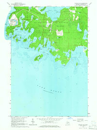
1964 · Whitney Bay
USGS Topo · 1:24,000
1964 · Lime Island
USGS Topo · 1:24,000

1964 · Meade Island
USGS Topo · 1:24,000
1964 · Burnt Island
USGS Topo · 1:24,000