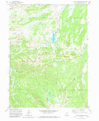
1972 Map of Whitney Reservoir
USGS Topo · Published 1980About this map
The Whitney Reservoir and the headwaters of the Bear River define this high-altitude landscape within the Wasatch National Forest. Surveyed in the early 1970s, the map reveals a remote network of drainage systems and high passes that shaped the movement of early forest rangers and travelers. The presence of the Whitney Guard Sta near the West Fork Bear River indicates the administrative oversight required for this wilderness area, while several remote water bodies like Whiskey Island Lake and Bourbon Lake are tucked into the high basins. Distinctive peaks and crossings such as Moffit Peak, Moffit Pass, and Gold Hill Pass served as vital landmarks for those navigating the divide between the Bear and Weber River watersheds. The terrain is marked by numerous seasonal drainages including Humpy Creek and Coyote Hollow, illustrating the complex hydrology of the High Uintas.
Find a feature on this map
31 named features on this map. Tap any name to fly to it.
Don’t see what you’re looking for? This feature index may not catch every label — zoom into the map to look around manually.
Map Details
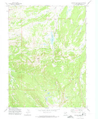
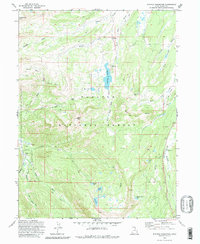
Editions of this 1972 Whitney Reservoir Map
3 editions found
Other maps of this area

1885 · Salt Lake
USGS Topo · 1:250,000

1885 · Uinta
USGS Topo · 1:250,000

1900 · Coalville
USGS Topo · 1:125,000

1901 · Hayden Peak
USGS Topo · 1:125,000

1903 · Hayden Peak
USGS Topo · 1:125,000

1903 · Coalville
USGS Topo · 1:125,000

1954 · Salt Lake City
USGS Topo · 1:250,000

1958 · Salt Lake City
USGS Topo · 1:250,000

1960 · Salt Lake City
USGS Topo · 1:250,000
1972 · Seven Tree Flat
USGS Topo · 1:24,000