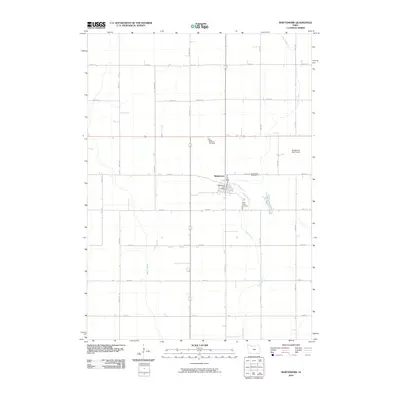
2010 Map of Whittemore
USGS Topo · Published 2010About this map
Whittemore serves as the central hub of this Kossuth County landscape, situated where the grid of sectional roads meets the winding path of Lotts Creek. The settlement's layout is clearly defined, featuring the Whittemore Post Office at its core and the Whittemore Golf Course providing a transition to the surrounding agricultural fields. The map documents a significant genealogical record for the area, pinpointing three distinct burial grounds: Saint Michaels Cemetery, Whittemore Cemetery, and Saint Pauls Cemetery. These sites, along with the drainage patterns of Prairie Creek, illustrate the intersection of pioneer-era settlement choices with the rigid township and range surveying system that shaped north-central Iowa. The survey captures a moment of modern continuity in a classic prairie farming community.
Find a feature on this map
30 named features on this map. Tap any name to fly to it.
Don’t see what you’re looking for? This feature index may not catch every label — zoom into the map to look around manually.
Map Details
Editions of this 2010 Whittemore Map
This is the sole edition of this map. No revisions or reprints were ever made.
Other maps of this area

1954 · Fairmont
USGS Topo · 1:250,000

1954 · Fort Dodge
USGS Topo · 1:250,000

1957 · Fort Dodge
USGS Topo · 1:250,000

1958 · Fort Dodge
USGS Topo · 1:250,000

1958 · Fairmont
USGS Topo · 1:250,000

1980 · Lone Rock
USGS Topo · 1:24,000

1980 · Fenton
USGS Topo · 1:24,000

1980 · Depew
USGS Topo · 1:24,000

1980 · Plover
USGS Topo · 1:24,000

1980 · Hobarton
USGS Topo · 1:24,000