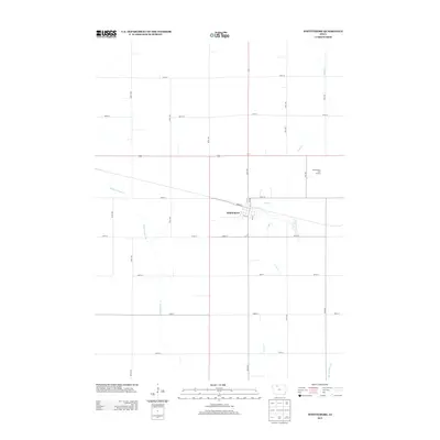
2013 Map of Whittemore
USGS Topo · Published 2013About this map
Whittemore serves as the central hub of this Iowa prairie landscape, defined by a rigid grid of agricultural sections and a meticulously engineered drainage network. The town's layout is anchored by Broad St and Clay St, with the northern edge bordering the Whittemore Golf Course. This 2013 survey illustrates the heavy reliance on human-made waterways to manage the fertile land, featuring the extensive Ditch Number 61 and Ditch Number 79 alongside the natural meandering course of Lotts Cr. The map captures a moment of modern rural continuity, where traditional township lines like 570th Ave and 200th St remain the primary infrastructure for Kossuth County's farming economy.
Find a feature on this map
31 named features on this map. Tap any name to fly to it.
Don’t see what you’re looking for? This feature index may not catch every label — zoom into the map to look around manually.
Map Details
Editions of this 2013 Whittemore Map
This is the sole edition of this map. No revisions or reprints were ever made.
Other maps of this area

1954 · Fairmont
USGS Topo · 1:250,000

1954 · Fort Dodge
USGS Topo · 1:250,000

1957 · Fort Dodge
USGS Topo · 1:250,000

1958 · Fort Dodge
USGS Topo · 1:250,000

1958 · Fairmont
USGS Topo · 1:250,000

1980 · Lone Rock
USGS Topo · 1:24,000

1980 · Fenton
USGS Topo · 1:24,000

1980 · Depew
USGS Topo · 1:24,000

1980 · Plover
USGS Topo · 1:24,000

1980 · Hobarton
USGS Topo · 1:24,000