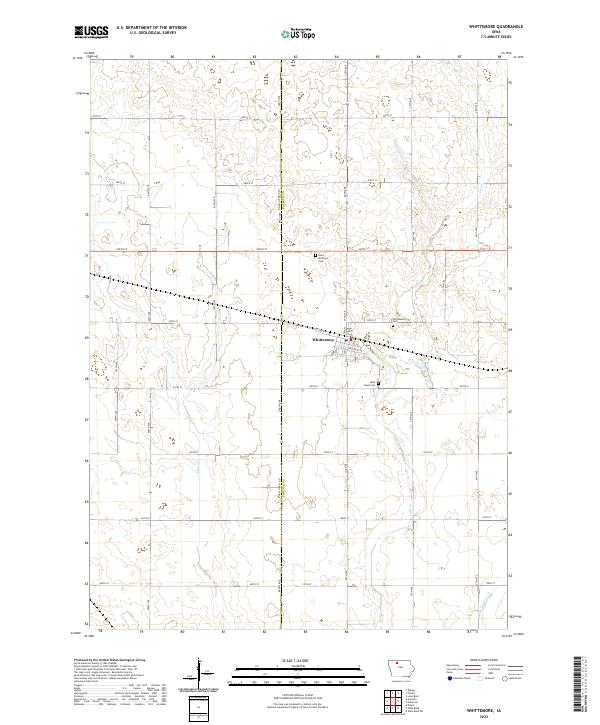
2022 Map of Whittemore
USGS Topo · Published 2022About this map
Whittemore serves as the central hub of this agricultural landscape in north-central Iowa, situated along the border of Palo Alto and Kossuth counties. The town's grid is anchored by Broad St and Palo Alto St, with residential and community life extending to its outskirts where Whittemore Cem and Saint Pauls Cem are located. To the north, Saint Michaels Cem stands alone among the fields, marking a site of local genealogical significance near the section lines of T96N R31W.
Find a feature on this map
42 named features on this map. Tap any name to fly to it.
Don’t see what you’re looking for? This feature index may not catch every label — zoom into the map to look around manually.
Map Details
Editions of this 2022 Whittemore Map
This is the sole edition of this map. No revisions or reprints were ever made.
Other maps of this area

1954 · Fairmont
USGS Topo · 1:250,000

1954 · Fort Dodge
USGS Topo · 1:250,000

1957 · Fort Dodge
USGS Topo · 1:250,000

1958 · Fort Dodge
USGS Topo · 1:250,000

1958 · Fairmont
USGS Topo · 1:250,000

1980 · Lone Rock
USGS Topo · 1:24,000

1980 · Fenton
USGS Topo · 1:24,000

1980 · Depew
USGS Topo · 1:24,000

1980 · Plover
USGS Topo · 1:24,000

1980 · Hobarton
USGS Topo · 1:24,000