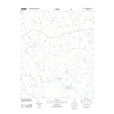
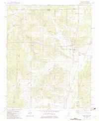
2012 Map of Whitten Town
USGS Topo · Published 2012About this map
Whitten Town serves as the focal point of this North Mississippi landscape, where a dense network of local roads such as Co Rd 433 and Weikel Rd connects scattered farmsteads and rural family burial grounds. The area is defined by its complex hydrology, with numerous small lakes and creeks including Yellow Rabbit Lake, Lake Chautauqua, and the headwaters of Ishitubba Cr. These water bodies are often tucked between minor rises like Rogers Hill, reflecting the localized agricultural and residential patterns of Tippah County.
Find a feature on this map
98 named features on this map. Tap any name to fly to it.
Don’t see what you’re looking for? This feature index may not catch every label — zoom into the map to look around manually.
Map Details
Editions of this 2012 Whitten Town Map
This is the sole edition of this map. No revisions or reprints were ever made.
Other maps of this area

1950 · Ashland
USGS Topo · 1:62,500

1951 · Walnut
USGS Topo · 1:62,500

1955 · Ripley
USGS Topo · 1:62,500

1955 · Blue Mountain
USGS Topo · 1:62,500

1956 · Tupelo
USGS Topo · 1:250,000

1958 · Tupelo
USGS Topo · 1:250,000
1982 · Ripley
USGS Topo · 1:24,000
1982 · Blue Mountain
USGS Topo · 1:24,000
1982 · Chilli Creek
USGS Topo · 1:24,000
1982 · Walnut
USGS Topo · 1:24,000