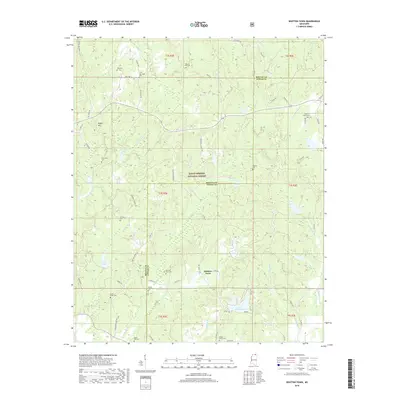
2018 Map of Whitten Town
USGS Topo · Published 2018About this map
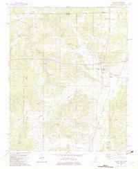
The boundary between Benton Co and Tippah Co cuts through this landscape, which is largely defined by the wooded reaches of the Holly Springs National Forest. Small settlements and family landmarks are scattered throughout the terrain, centered around Whitten Town. The area is notably dense with small burial grounds, including the Shelby Creek Cem, Curtis Creek Cem, and Beech Hill Cem, which serve as vital markers for local genealogical research.
Find a feature on this map
77 named features on this map. Tap any name to fly to it.
Don’t see what you’re looking for? This feature index may not catch every label — zoom into the map to look around manually.
Map Details
Editions of this 2018 Whitten Town Map
This is the sole edition of this map. No revisions or reprints were ever made.
Other maps of this area

1950 · Ashland
USGS Topo · 1:62,500

1951 · Walnut
USGS Topo · 1:62,500

1955 · Ripley
USGS Topo · 1:62,500

1955 · Blue Mountain
USGS Topo · 1:62,500

1956 · Tupelo
USGS Topo · 1:250,000

1958 · Tupelo
USGS Topo · 1:250,000
1982 · Ripley
USGS Topo · 1:24,000
1982 · Blue Mountain
USGS Topo · 1:24,000
1982 · Chilli Creek
USGS Topo · 1:24,000
1982 · Walnut
USGS Topo · 1:24,000