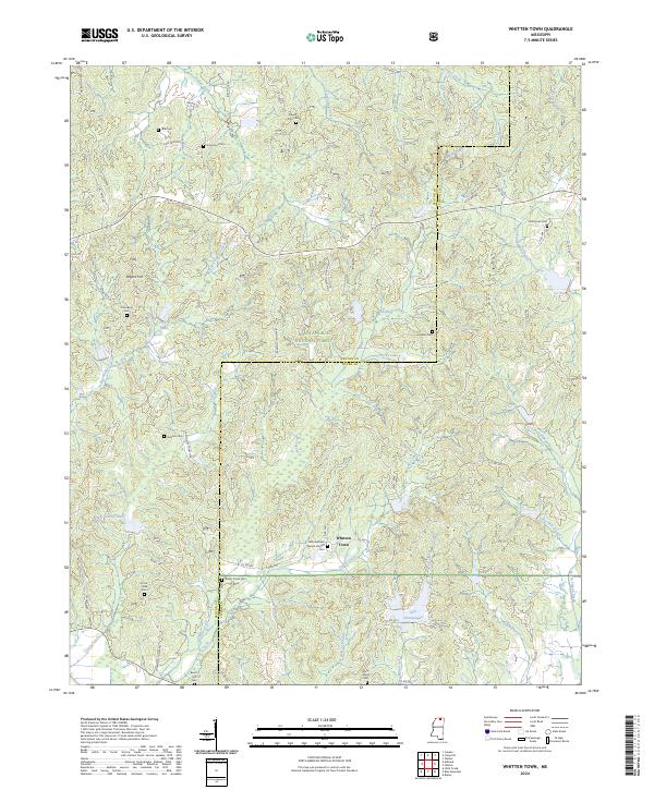
2024 Map of Whitten Town
USGS Topo · Published 2024About this map
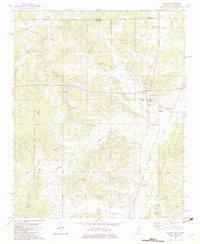
Holly Springs National Forest encompasses much of this terrain along the border of Benton and Tippah Counties. The landscape is defined by a dense network of creek drainages and small ridges, where small family and community burial grounds like Tate Cem, Mount Zion Cem, and Ormans Cem are scattered across the rural acreage. The settlement of Whitten Town serves as a local anchor, centered near the Whittentown Baptist Church Cem.
Find a feature on this map
78 named features on this map. Tap any name to fly to it.
Don’t see what you’re looking for? This feature index may not catch every label — zoom into the map to look around manually.
Map Details
Editions of this 2024 Whitten Town Map
This is the sole edition of this map. No revisions or reprints were ever made.
Other maps of this area

1950 · Ashland
USGS Topo · 1:62,500

1951 · Walnut
USGS Topo · 1:62,500

1955 · Ripley
USGS Topo · 1:62,500

1955 · Blue Mountain
USGS Topo · 1:62,500

1956 · Tupelo
USGS Topo · 1:250,000

1958 · Tupelo
USGS Topo · 1:250,000
1982 · Ripley
USGS Topo · 1:24,000
1982 · Blue Mountain
USGS Topo · 1:24,000
1982 · Chilli Creek
USGS Topo · 1:24,000
1982 · Walnut
USGS Topo · 1:24,000