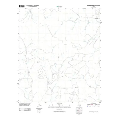
2010 Map of Whitworth Ranch
USGS Topo · Published 2010About this map
Whitworth Ranch and several other prominent family holdings characterize this portion of the Texas Hill Country in the early 21st century. The landscape is defined by the headwaters and drainages of the Blanco River, which flows across the northern section of the sheet. Significant topography includes the distinct Bust Buttes in the west and high points such as Wolf Mountain and Meta Mountain to the south.
Find a feature on this map
43 named features on this map. Tap any name to fly to it.
Don’t see what you’re looking for? This feature index may not catch every label — zoom into the map to look around manually.
Map Details
Editions of this 2010 Whitworth Ranch Map
This is the sole edition of this map. No revisions or reprints were ever made.
Other maps of this area

1894 · Fredericksburg
USGS Topo · 1:125,000

1954 · Llano
USGS Topo · 1:250,000

1954 · San Antonio
USGS Topo · 1:250,000

1955 · Llano
USGS Topo · 1:250,000

1956 · Comfort
USGS Topo · 1:62,500

1956 · Llano
USGS Topo · 1:250,000

1957 · Boerne
USGS Topo · 1:62,500

1957 · San Antonio
USGS Topo · 1:250,000

1961 · Stonewall
USGS Topo · 1:24,000

1961 · Hye
USGS Topo · 1:24,000