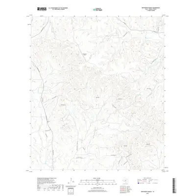
2019 Map of Whitworth Ranch
USGS Topo · Published 2019About this map
The Blanco River and its intricate network of tributaries, including the Fork Blanco River and Blackberry Cr, carve through this portion of Kendall County. The landscape is defined by its dramatic relief, with prominent peaks like Lone Hill, Cave Hill, and the dual summits of Bust Buttes rising above the creek valleys. This area in the Texas Hill Country shows a pattern of ranching and dispersed rural development, anchored by the Whitworth Ranch and the Headwaters Airport. Natural water sources are vital to the local geography, evidenced by named features such as Wenzel Spring, Carson Spring, and Delaware Spring. Transportation is facilitated by a grid of rural routes including Ranch RD 1376 and Sisterdale RD, while residential development appears along roads like Mountain Views DR and Shadow Valley DR in the southeastern quadrant near Wolf Mtn.
Find a feature on this map
46 named features on this map. Tap any name to fly to it.
Don’t see what you’re looking for? This feature index may not catch every label — zoom into the map to look around manually.
Map Details
Editions of this 2019 Whitworth Ranch Map
This is the sole edition of this map. No revisions or reprints were ever made.
Other maps of this area

1894 · Fredericksburg
USGS Topo · 1:125,000

1954 · Llano
USGS Topo · 1:250,000

1954 · San Antonio
USGS Topo · 1:250,000

1955 · Llano
USGS Topo · 1:250,000

1956 · Comfort
USGS Topo · 1:62,500

1956 · Llano
USGS Topo · 1:250,000

1957 · Boerne
USGS Topo · 1:62,500

1957 · San Antonio
USGS Topo · 1:250,000

1961 · Stonewall
USGS Topo · 1:24,000

1961 · Hye
USGS Topo · 1:24,000