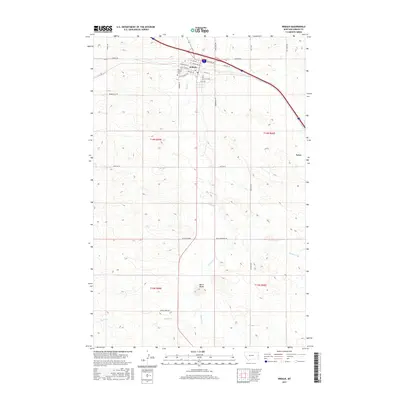
2017 Map of Wibaux
USGS Topo · Published 2017About this map
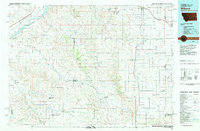
Wibaux serves as the central hub of this eastern Montana landscape, where the confluence of Beaver Cr and the Interstate 94 corridor dictates the local geography. The town's grid is detailed down to Alice Ave and Beaver St, while the nearby Wibaux County Cem provides a focal point for genealogical research. To the south, the terrain rises toward the prominence of Baird Butte, a distinctive landmark in a region otherwise defined by the winding paths of Spring Cr and Brophy Cr.
Find a feature on this map
38 named features on this map. Tap any name to fly to it.
Don’t see what you’re looking for? This feature index may not catch every label — zoom into the map to look around manually.
Map Details
Editions of this 2017 Wibaux Map
This is the sole edition of this map. No revisions or reprints were ever made.
Other maps of this area

1909 · Glendive
USGS Topo · 1:250,000

1953 · Miles City
USGS Topo · 1:250,000
1954 · Glendive
USGS Topo · 1:250,000
1957 · Miles City
USGS Topo · 1:250,000
1957 · Glendive
USGS Topo · 1:250,000
1958 · Miles City
USGS Topo · 1:250,000
1958 · Glendive
USGS Topo · 1:250,000
1974 · Odland Dam
USGS Topo · 1:24,000
1981 · Glendive
USGS Topo · 1:100,000
1981 · Wibaux
USGS Topo · 1:100,000